Ráthpuszta
Ráthpuszta is a locality in Békés County, Southern Great Plain. Ráthpuszta is situated nearby to the village Turnu, as well as near the locality Dombegyházi Út.| Tap on a place to explore it |
Places in the Area
Nearby places include Turnu and Variașu Mare.
Turnu
Village

Photo: Wikimedia, Public domain.
Turnu is a village, which is situated 3½ km southeast of Ráthpuszta.
Variașu Mare
Village
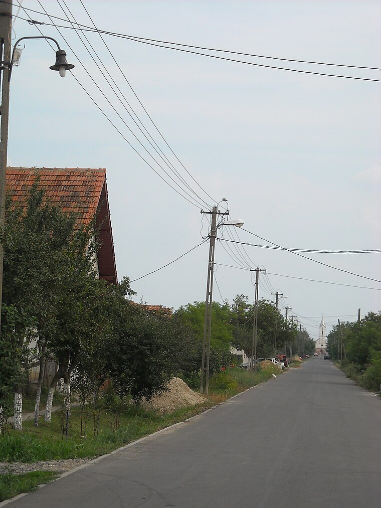
Photo: Oguszt, CC BY-SA 3.0.
Variașu Mare is a village, which is situated 6 km east of Ráthpuszta.
Sederhat
Village

Photo: Nxt, CC BY-SA 4.0.
Sederhat is a village, which is situated 9 km southeast of Ráthpuszta.
Ráthpuszta
- Type: Locality
- Also known as: “Ráth-major” and “Rathpuszta”
- Location: Békés County, Southern Great Plain, Hungary, Central Europe, Europe
- View on OpenStreetMap
Latitude
46.28333° or 46° 17′ northLongitude
21.1° or 21° 6′ eastElevation
97 metres (318 feet)Open location code
8GR373MX+8XGeoNames ID
716163
This page is based on GeoNames, Wikidata, and Wikimedia Commons.
We’d love your help improving our open data sources. Thank you for contributing.
Satellite Map
Discover Ráthpuszta from above in high-definition satellite imagery.
Places with the Same Name
Discover other places named “Ráthpuszta”.
Localities in the Area
Explore places such as Szionda I. and Dombegyházi Út.
Notable Places Nearby
Highlights include Szionda-halom and Battonya Vasútállomás.
Southern Great Plain: Must-Visit Destinations
Delve into Szeged, Kecskemét, Baja, and Kiskunhalas.
Curious Places to Discover
Uncover intriguing places from every corner of the globe.
About Mapcarta. Text is available under the CC BY-SA 4.0 license, except for photos, directions, and the map. Photo: Inkey, Public domain.