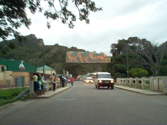
Umzimvubu River
Umzimvubu River is a stream in KwaZulu-Natal, South Africa. Umzimvubu River is situated nearby to the locality Mtumbane, as well as near Camerondale.| Tap on a place to explore it |
Places of Interest
Highlights include Cape Hermes Lighthouse.
Places in the Area
Nearby places include Port St Johns.
Port St Johns

Photo: Robvanvee, CC BY-SA 3.0.
Port St Johns is a town on the Wild Coast of South Africa. Renowned worldwide for its open beaches, awesome weather and wild waters, Port St Johns and the Wild Coast offer visitors to South Africa an opportunity to experience unspoiled Africa.
Umzimvubu River
- Type: Stream
- Category: body of water
- Location: KwaZulu-Natal, South Africa, Southern Africa, Africa
- View on OpenStreetMap
Latitude
-31.62802° or 31° 37′ 41″ southLongitude
29.54929° or 29° 32′ 57″ eastElevation
1 metre (3 feet)Open location code
4GWF9GCX+QPGeoNames ID
946014
This page is based on GeoNames, Wikidata, and Wikimedia Commons.
We’d love your help improving our open data sources. Thank you for contributing.
Satellite Map
Discover Umzimvubu River from above in high-definition satellite imagery.
Localities in the Area
Explore places such as Mtumbane and Camerondale.
Notable Places Nearby
Highlights include Umzimvubu River and First Beach.
KwaZulu-Natal: Must-Visit Destinations
Delve into Durban, Pietermaritzburg, ISimangaliso Wetland Park, and Ladysmith.
Curious Streams to Discover
Uncover intriguing streams from every corner of the globe.
About Mapcarta. Text is available under the CC BY-SA 4.0 license, except for photos, directions, and the map. Photo: P.Lindgren, CC BY-SA 3.0.
