Nhanvúu
Nhanvúu is a stream in Tete, Mozambique. Nhanvúu is situated nearby to the locality Luís, as well as near Galuce.| Tap on a place to explore it |
Places of Interest
Highlights include Benga coal mine.
Benga coal mine
Quarry
The Benga Coal Mine is a coal mine located in Tete, Changara District, Tete Province, Mozambique. The mine has coal reserves amounting to 1.9 billion tonnes of coking coal, one of the largest coal reserves in Africa and the world. Benga coal mine is situated 3 km southeast of Nhanvúu.
Places in the Area
Nearby places include Tete and Moatize.
Tete
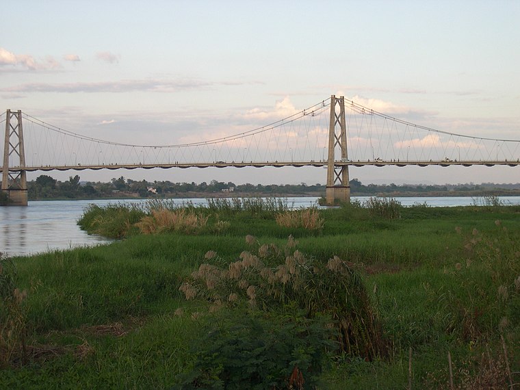
Photo: EmjayE2, Public domain.
Tete is the capital city of Tete Province in Mozambique. It is located on the Zambezi River, and is the site of two of the four bridges crossing the river in Mozambique.
Moatize
Town

Photo: Teixant, Public domain.
Moatize is the principal town and administrative center of Moatize District in western Mozambique's Tete Province. It is located on the eastern side of the Zambezi River at the confluence of the Moatize and Revuboe Rivers. Moatize is situated 10 km northeast of Nhanvúu.
Nhanvúu
- Type: Stream
- Also known as: “Nhanvuo” and “Nhanvuu”
- Category: body of water
- Location: Tete, Mozambique, Southern Africa, Africa
- View on OpenStreetMap
Latitude
-16.15694° or 16° 9′ 25″ southLongitude
33.64694° or 33° 38′ 49″ eastElevation
126 metres (413 feet)Open location code
5GMMRJVW+6QGeoNames ID
1030521
This page is based on GeoNames, Wikidata, and Wikimedia Commons.
We’d love your help improving our open data sources. Thank you for contributing.
Satellite Map
Discover Nhanvúu from above in high-definition satellite imagery.
Localities in the Area
Explore places such as Luís and Galuce.
Notable Places Nearby
Highlights include Monte M’pandi and Tete Chingodzi.
Mozambique: Must-Visit Destinations
Delve into Maputo, Beira, Ilha de Mozambique, and Nampula.
Curious Streams to Discover
Uncover intriguing streams from every corner of the globe.
About Mapcarta. Text is available under the CC BY-SA 4.0 license, except for photos, directions, and the map. Photo: Stig Nygaard, CC BY 2.0.