Tomas
Tomas is a farm in Großmürbisch, Güssing District, Burgenland. Tomas is situated nearby to the locality Frisch, as well as near the village Inzenhof.| Tap on a place to explore it |
Places of Interest
Highlights include Saint Stephen Church and Kath. Filialkirche St. Nikolaus.

Kath. Filialkirche St. Nikolaus
Church

Photo: Bwag, CC BY-SA 4.0.
Kath. Filialkirche St. Nikolaus is a church, which is situated 3½ km north of Tomas.
Kath. Filialkirche zur Hl. Dreifaltigkeit
Church

Photo: Ueb-at, CC BY-SA 3.0.
Kath. Filialkirche zur Hl. Dreifaltigkeit is a church, which is situated 3½ km northeast of Tomas.
Places in the Area
Nearby places include Sankt Nikolaus and Jakabháza.
Sankt Nikolaus
Village

Photo: Niki.L, CC BY-SA 4.0.
Sankt Nikolaus is a village, which is situated 3½ km north of Tomas.
Jakabháza
Suburb

Photo: Darinko, Public domain.
Jakabháza is a suburb, which is situated 4 km south of Tomas.
Reinersdorf
Village
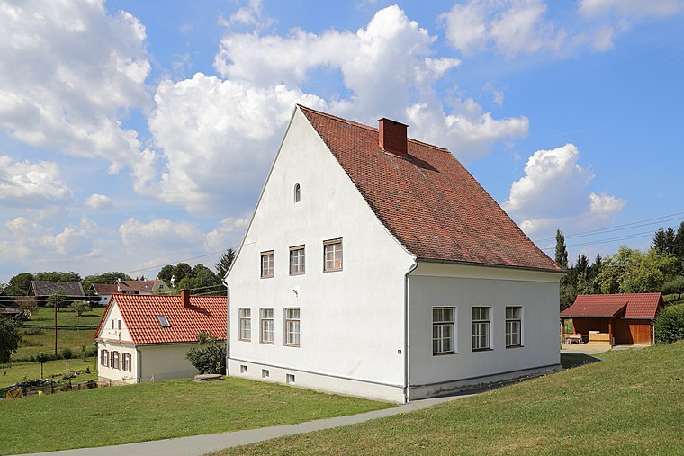
Photo: Bwag, CC BY-SA 3.0 at.
Reinersdorf is a village, which is situated 4½ km east of Tomas.
Tomas
- Type: Farm
- Category: agriculture
- Location: Großmürbisch, Güssing District, Burgenland, Austria, Central Europe, Europe
- View on OpenStreetMap
Latitude
47.01667° or 47° 1′ northLongitude
16.33333° or 16° 20′ eastElevation
267 metres (876 feet)Open location code
8FVR288M+M8GeoNames ID
2763546
This page is based on GeoNames, Wikidata, and Wikimedia Commons.
We’d love your help improving our open data sources. Thank you for contributing.
Satellite Map
Discover Tomas from above in high-definition satellite imagery.
Places with the Same Name
Discover other places named “Tomas”.
Localities in the Area
Explore places such as Frisch and Inzenhof.
Notable Places Nearby
Highlights include Hammelberg and Nagyboldogasszony templom.
Burgenland: Must-Visit Destinations
Delve into Eisenstadt, Neusiedl am See, Rust, and Güssing.
Curious Places to Discover
Uncover intriguing places from every corner of the globe.
About Mapcarta. Text is available under the CC BY-SA 4.0 license, except for photos, directions, and the map. Photo: Wikimedia, CC BY-SA 4.0.