Ziegenberg
Ziegenberg is a hill in Oebisfelde-Weferlingen, Börde Rural District, Saxony-Anhalt and has an elevation of 86 metres. Ziegenberg is situated nearby to the village Kathendorf, as well as near Rätzlingen.| Tap on a place to explore it |
Places in the Area
Nearby places include Everingen and Seggerde.
Everingen
Village
Everingen is a village and a former municipality in the Börde district in Saxony-Anhalt, Germany. Since 1 September 2010, it is part of the town Oebisfelde-Weferlingen. Everingen is situated 3½ km southwest of Ziegenberg.
Seggerde
Village
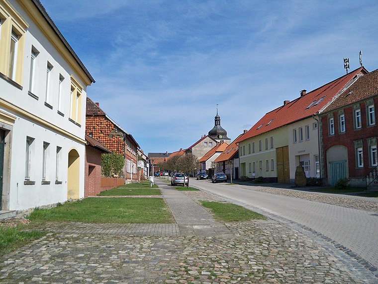
Photo: Vanellus Foto, CC BY-SA 3.0.
Seggerde is a village and a former municipality in the Börde district in Saxony-Anhalt, Germany. Since 1 January 2010, it is part of the town Oebisfelde-Weferlingen. Seggerde is situated 6 km southwest of Ziegenberg.
Miesterhorst
Village

Photo: Clemensfranz, CC BY-SA 4.0.
Miesterhorst is a village and a former municipality in the district Altmarkkreis Salzwedel, in Saxony-Anhalt, Germany. Since 1 January 2011 it is part of the town of Gardelegen. Miesterhorst is situated 8 km north of Ziegenberg.
Ziegenberg
- Type: Hill with an elevation of 86 metres
- Category: landform
- Location: Oebisfelde-Weferlingen, Börde Rural District, Saxony-Anhalt, Germany, Central Europe, Europe
- View on OpenStreetMap
Latitude
52.39194° or 52° 23′ 31″ northLongitude
11.12454° or 11° 7′ 28″ eastElevation
86 metres (282 feet)Open location code
9F4H94RF+QRGeoNames ID
2804412
This page is based on GeoNames, Wikidata, and Wikimedia Commons.
We’d love your help improving our open data sources. Thank you for contributing.
Satellite Map
Discover Ziegenberg from above in high-definition satellite imagery.
In Other Languages
“Ziegenberg” goes by many names.
- German: “Ziegenberg”
Places with the Same Name
Discover other places named “Ziegenberg”.
Localities in the Area
Explore places such as Kathendorf and Rätzlingen.
Notable Places Nearby
Highlights include Rätzlingen and Stieben-Berg.
Saxony-Anhalt: Must-Visit Destinations
Delve into Magdeburg, Halle, Wittenberg, and Quedlinburg.
Curious Places to Discover
Uncover intriguing places from every corner of the globe.
About Mapcarta. Text is available under the CC BY-SA 4.0 license, except for photos, directions, and the map. Photo: GMM, Public domain.