Teufelsklinge
Teufelsklinge is a ravine in Baden-Württemberg, Germany and has an elevation of 730 metres. Teufelsklinge is situated nearby to the hamlet Innerer Kitzinghof, as well as near Äußerer Kitzinghof.| Tap on a place to explore it |
Places of Interest
Highlights include Heubach Telecommunication Tower and Burg Rosenstein.
Heubach Telecommunication Tower

Photo: Timberwind, Public domain.
Heubach Telecommunication Tower is a 162-metre-tall telecommunication tower of Deutsche Telekom AG on Glasenberg at Heubach in Baden-Württemberg. It is used for directional radio, mobile radio, police and fire brigade radio also used for FM- and TV transmission.
Burg Rosenstein

Photo: Kreuzschnabel, CC BY-SA 3.0.
Burg Rosenstein is situated 2½ km north of Teufelsklinge.
Ruine Lauterburg
Castle

Photo: Geak, Copyrighted free use.
Ruine Lauterburg is a castle, which is situated 3 km northeast of Teufelsklinge.
Places in the Area
Nearby places include Heubach and Lauterburg.
Heubach
Town

Photo: Kreuzschnabel, CC BY-SA 3.0.
Heubach is a town in the Ostalbkreis district, in Baden-Württemberg, Germany. It is located 10 km east of Schwäbisch Gmünd, and 13 km southwest of Aalen. Heubach is situated 2½ km northwest of Teufelsklinge.
Lauterburg
Village
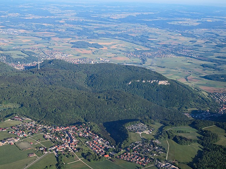
Photo: Kreuzschnabel, CC BY-SA 3.0.
Lauterburg is a village, which is situated 3 km northeast of Teufelsklinge.
Bartholomä
Village
 Bartholomä is a municipality in the German state of Baden-Württemberg, in Ostalbkreis district. Bartholomä is mainly a commuter town in the historical region of Swabia, that straddles the border between Baden-Württemberg and Bavaria. Bartholomä is situated 3 km southeast of Teufelsklinge.
Teufelsklinge
- Type: Ravine with an elevation of 730 metres
- Category: body of water
- Location: Baden-Württemberg, Germany, Central Europe, Europe
- View on OpenStreetMap
Latitude
48.76667° or 48° 46′ northLongitude
9.95° or 9° 57′ eastElevation
730 metres (2,395 feet)Open location code
8FWFQW8X+MXGeoNames ID
2823303
This page is based on GeoNames, Wikidata, and Wikimedia Commons.
We’d love your help improving our open data sources. Thank you for contributing.
Satellite Map
Discover Teufelsklinge from above in high-definition satellite imagery.
Places with the Same Name
Discover other places named “Teufelsklinge”.
Localities in the Area
Explore places such as Innerer Kitzinghof and Äußerer Kitzinghof.
Notable Places Nearby
Highlights include Schorren and Uzenberg.
Baden-Württemberg: Must-Visit Destinations
Delve into Stuttgart, Heidelberg, Karlsruhe, and Mannheim.
Curious Ravines to Discover
Uncover intriguing ravines from every corner of the globe.
About Mapcarta. Text is available under the CC BY-SA 4.0 license, except for photos, directions, and the map. Photo: Traveler100, CC BY-SA 3.0.