Seltenreingraben
Seltenreingraben is a ditch in Thuringia, Germany. Seltenreingraben is situated nearby to the locality Urleben, as well as near Tottleben.| Tap on a place to explore it |
Places of Interest
Highlights include Church Urleben and St. Anna (Tottleben).

St. Anna (Tottleben)
Church

Photo: ErwinMeier, CC BY-SA 3.0.
St. Anna (Tottleben) is a church, which is situated 3 km west of Seltenreingraben.
St. Trinitatis (Bad Tennstedt)
Church

Photo: Michael Sander, CC BY-SA 3.0.
St. Trinitatis (Bad Tennstedt) is a church, which is situated 3 km east of Seltenreingraben.
Places in the Area
Nearby places include Urleben and Kleinurleben.
Urleben
Village

Photo: CTHOE, CC BY-SA 3.0.
Urleben is a municipality in the Unstrut-Hainich-Kreis district of Thuringia, Germany.

Seltenreingraben
- Type: Ditch
- Also known as: “Seltenrein-Graben”
- Category: body of water
- Location: Thuringia, Germany, Central Europe, Europe
- View on OpenStreetMap
Latitude
51.15641° or 51° 9′ 23″ northLongitude
10.79029° or 10° 47′ 25″ eastElevation
183 metres (600 feet)Open location code
9F3G5Q4R+H4GeoNames ID
2833144
This page is based on GeoNames, Wikidata, and Wikimedia Commons.
We’d love your help improving our open data sources. Thank you for contributing.
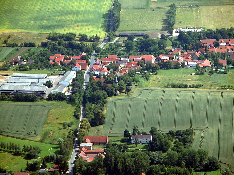
Satellite Map
Discover Seltenreingraben from above in high-definition satellite imagery.
In Other Languages
“Seltenreingraben” goes by many names.
- German: “Seltenreingraben”
Localities in the Area
Explore places such as Urleben and Bruchstedt.
Notable Places Nearby
Highlights include Haar-Berg and Großer Urlebener-Berg.
Curious Ditches to Discover
Uncover intriguing ditches from every corner of the globe.
About Mapcarta. Text is available under the CC BY-SA 4.0 license, except for photos, directions, and the map. Photo: Taxiarchos228, FAL.