See-Berg
See-Berg is a peak in Wanzleben-Börde, Börde Rural District, Saxony-Anhalt and has an elevation of 137 metres. See-Berg is situated nearby to the village Groß Rodensleben, as well as near the hamlet Bergen.| Tap on a place to explore it |
Places of Interest
Highlights include Komturei Bergen and St. Petri.


Kulturhaus Domersleben
Community center
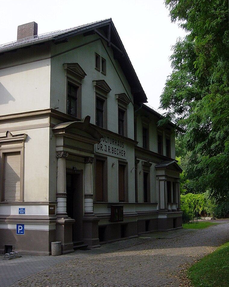
Photo: Reise Reise, CC BY-SA 4.0.
Kulturhaus Domersleben is a community center.
Places in the Area
Nearby places include Remkersleben and Klein Wanzleben.

Klein Wanzleben
Village
Klein Wanzleben is a village and a former municipality in the Börde district in Saxony-Anhalt, Germany. Since September 1, 2010, it is now part of the town Wanzleben-Börde.
Wanzleben
Town

Photo: Olaf2, CC BY-SA 3.0.
Wanzleben is a town and a former municipality in the Börde district, in Sachsen-Anhalt, Germany. Between 2004 and 2010 it was the seat of the Verwaltungsgemeinschaft Börde Wanzleben.
See-Berg
- Type: Peak with an elevation of 137 metres
- Description: hill near Groß Rodensleben, Germany
- Categories: hill and landform
- Location: Wanzleben-Börde, Börde Rural District, Saxony-Anhalt, Germany, Central Europe, Europe
- View on OpenStreetMap
Latitude
52.10369° or 52° 6′ 13″ northLongitude
11.39479° or 11° 23′ 41″ eastElevation
137 metres (449 feet)Open location code
9F4H493V+FWOpenStreetMap ID
node 3817823985OpenStreetMap feature
natural=peak
This page is based on OpenStreetMap, GeoNames, Wikidata, and Wikimedia Commons.
We’d love your help improving our open data sources. Thank you for contributing.
Satellite Map
Discover See-Berg from above in high-definition satellite imagery.
In Other Languages
From Cebuano to German—“See-Berg” goes by many names.
- Cebuano: “See-Berg”
- German: “Seeberg”
Places with the Same Name
Discover other places named “See-Berg”.
Localities in the Area
Explore places such as Groß Rodensleben and Bergen.
Notable Places Nearby
Highlights include Freiwillige Feuerwehr Wanzleben-Börde Ortsfeuerwehr Groß Rodensleben and Steinkreuz.
Saxony-Anhalt: Must-Visit Destinations
Delve into Magdeburg, Halle, Wittenberg, and Quedlinburg.
Curious Places to Discover
Uncover intriguing places from every corner of the globe.
About Mapcarta. Data © OpenStreetMap contributors and available under the Open Database License". Text is available under the CC BY-SA 4.0 license, except for photos, directions, and the map. Photo: GMM, Public domain.