Rieth
Rieth is a farm in Marl, Recklinghausen, North Rhine-Westphalia. Rieth is situated nearby to the locality Steinerne Kreuz, as well as near Transval.| Tap on a place to explore it |
Places of Interest
Highlights include Sculpture museum of Glaskasten and Auferstehungskirche.
Sculpture museum of Glaskasten
Museum
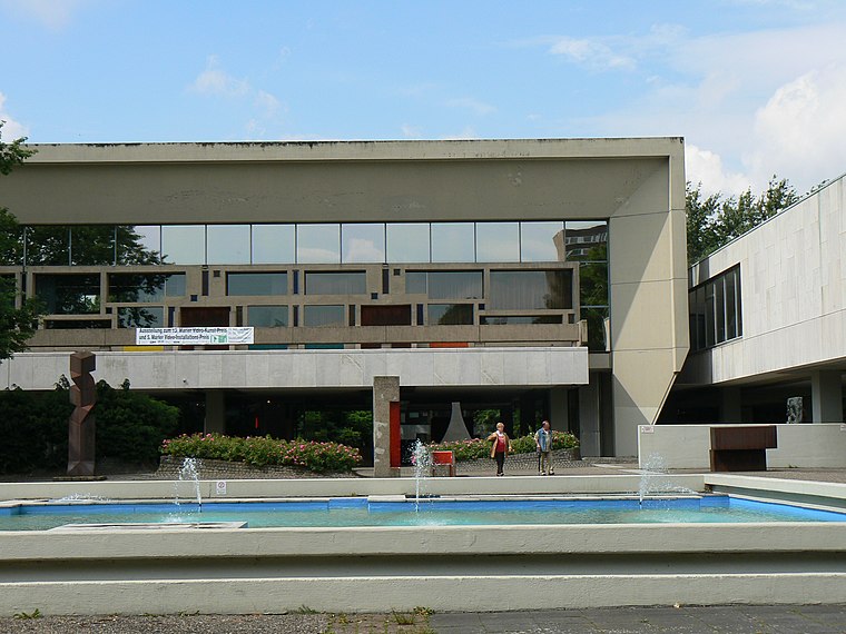
Photo: Gerardus, Public domain.
Sculpture museum of Glaskasten is situated 3 km northwest of Rieth.


Places in the Area
Nearby places include Bertlich and Westerholt.
Bertlich
Suburb

Photo: W.Strickling, CC BY-SA 4.0.
Bertlich is a suburb, which is situated 3½ km southwest of Rieth.
Westerholt
Village

Photo: Walter Koch, CC BY-SA 4.0.
Westerholt is a village, which is situated 4 km southwest of Rieth.
Herten
Town

Photo: Arnoldius, CC BY-SA 3.0.
Herten is a town and a municipality in t ], in North Rhine-Westphalia, Germany. It is situated in the industrial Ruhr Area, some 5 km west of Recklinghausen. Herten is situated 4½ km south of Rieth.
Rieth
- Type: Farm
- Category: agriculture
- Location: Marl, Recklinghausen, Münster, North Rhine-Westphalia, Germany, Central Europe, Europe
- View on OpenStreetMap
Latitude
51.63333° or 51° 38′ northLongitude
7.11667° or 7° 7′ eastElevation
82 metres (269 feet)Open location code
9F39J4M8+8MGeoNames ID
2846835
This page is based on GeoNames, Wikidata, and Wikimedia Commons.
We’d love your help improving our open data sources. Thank you for contributing.
Satellite Map
Discover Rieth from above in high-definition satellite imagery.
Places with the Same Name
Discover other places named “Rieth”.
Localities in the Area
Explore places such as Steinerne Kreuz and Transval.
Notable Places Nearby
Highlights include Marl Mitte station and Marl-Loemühle airfield.
North Rhine-Westphalia: Must-Visit Destinations
Delve into Cologne, Düsseldorf, Bonn, and Dortmund.
Curious Farms to Discover
Uncover intriguing farms from every corner of the globe.
About Mapcarta. Text is available under the CC BY-SA 4.0 license, except for photos, directions, and the map. Photo: Daniel Schwen, CC BY-SA 2.5.