Nordender Groden
Nordender Groden is a polder in Lower Saxony, Germany. Nordender Groden is situated nearby to the neighborhood Moorhausen, as well as near Wehgast.| Tap on a place to explore it |
Places of Interest
Highlights include Varel station and Varel windmill.
Varel station
Railway station

Photo: JoachimKohlerBremen, CC BY-SA 4.0.
Varel is a railway station located in Varel, Germany. The station is located on the Oldenburg–Wilhelmshaven railway. The train services are operated by NordWestBahn. Varel station is situated 4 km south of Nordender Groden.
Varel windmill
Museum

Photo: Kuebi, CC BY-SA 3.0.
Varel windmill is a museum, which is situated 4 km southwest of Nordender Groden.

Places in the Area
Nearby places include Moorhausen and Dangast.
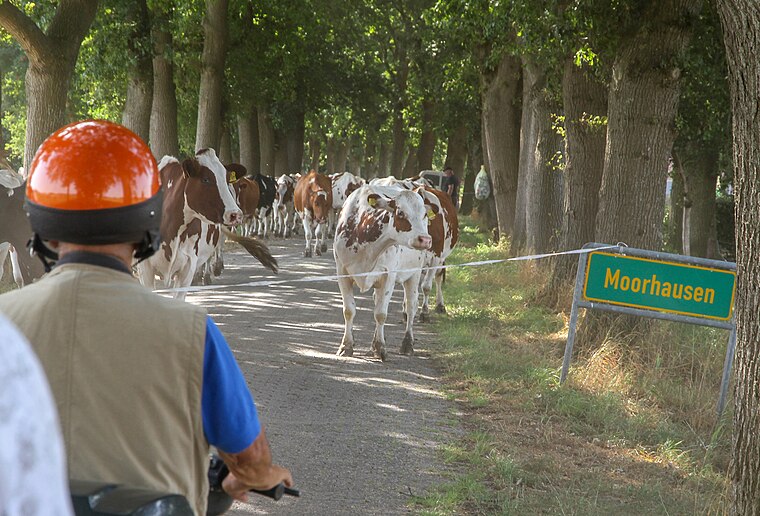
Dangast
Suburb

Photo: Wikimedia, Public domain.
Dangast is a suburb, which is situated 3½ km northwest of Nordender Groden.
Varel

Photo: Dickelbers, CC BY-SA 3.0.
Varel is a small town in East Frisia, near the Jade River, and south of Wilhelmshaven and Oldenburg. There is a well-known church dating back to 1144, although nowadays the town had a population of 24,000 in 2020, and the church is Lutheran.
Nordender Groden
- Type: Polder
- Categories: polder and landform
- Location: Lower Saxony, Germany, Central Europe, Europe
- View on OpenStreetMap
This page is based on GeoNames, Wikidata, and Wikimedia Commons.
We’d love your help improving our open data sources. Thank you for contributing.
Satellite Map
Discover Nordender Groden from above in high-definition satellite imagery.
In Other Languages
From Cebuano to German—“Nordender Groden” goes by many names.
- Cebuano: “Nordender Groden”
- German: “Nordender Groden”
Localities in the Area
Explore places such as Wehgast and Vareler Siel.
Notable Places Nearby
Highlights include Arngaster Tief and Vareler Tief.
Lower Saxony: Must-Visit Destinations
Delve into Hanover, Göttingen, Brunswick, and Wolfsburg.
Curious Polders to Discover
Uncover intriguing polders from every corner of the globe.
About Mapcarta. Text is available under the CC BY-SA 4.0 license, except for photos, directions, and the map. Photo: Danapit, CC BY-SA 3.0.