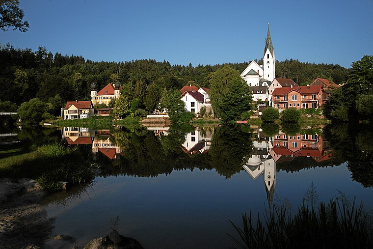
Mühlberg
Mühlberg is a peak in Maxhütte-Haidhof, Schwandorf, Bavaria and has an elevation of 437 metres. Mühlberg is situated nearby to the hamlet Roßbach, as well as near the suburb Leonberg.| Tap on a place to explore it |
Places of Interest
Highlights include St. Leonhard and Maxhütte-Haidhof.

Maxhütte-Haidhof
Railway station
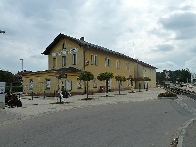
Photo: Global Fish, CC BY-SA 3.0.
Maxhütte-Haidhof is a railway station.

Places in the Area
Nearby places include Ramspau and Heilinghausen.


Mühlberg
- Type: Peak with an elevation of 437 metres
- Also known as: “Muhlberg”
- Categories: hill and landform
- Location: Maxhütte-Haidhof, Schwandorf, Upper Palatinate, Bavaria, Germany, Central Europe, Europe
- View on OpenStreetMap
Latitude
49.17765° or 49° 10′ 40″ northLongitude
12.11445° or 12° 6′ 52″ eastElevation
437 metres (1,434 feet)Open location code
8FXJ54H7+3QOpenStreetMap ID
node 667272914OpenStreetMap feature
natural=peak
This page is based on OpenStreetMap, GeoNames, Wikidata, and Wikimedia Commons.
We’d love your help improving our open data sources. Thank you for contributing.
Satellite Map
Discover Mühlberg from above in high-definition satellite imagery.
In Other Languages
From Cebuano to German—“Mühlberg” goes by many names.
- Cebuano: “Mühlberg”
- German: “Mühlberg”
Places with the Same Name
Discover other places named “Mühlberg”.
Localities in the Area
Explore places such as Roßbach and Leonberg.
Notable Places Nearby
Highlights include Harberhof West and Altes Schloß.
Upper Palatinate: Must-Visit Destinations
Delve into Regensburg, Amberg, Cham, and Schwandorf.
Curious Places to Discover
Uncover intriguing places from every corner of the globe.
About Mapcarta. Data © OpenStreetMap contributors and available under the Open Database License". Text is available under the CC BY-SA 4.0 license, except for photos, directions, and the map. Photo: Wikimedia, CC0.