Kienberg
Kienberg is a peak in Kronach, Upper Franconia, Bavaria and has an elevation of 476 metres. Kienberg is situated nearby to the hamlet Rottelsdorf (Kronach), as well as near the village Haig.| Tap on a place to explore it |
Places of Interest
Highlights include St. Anna and Kapelle.

Schwedenstein
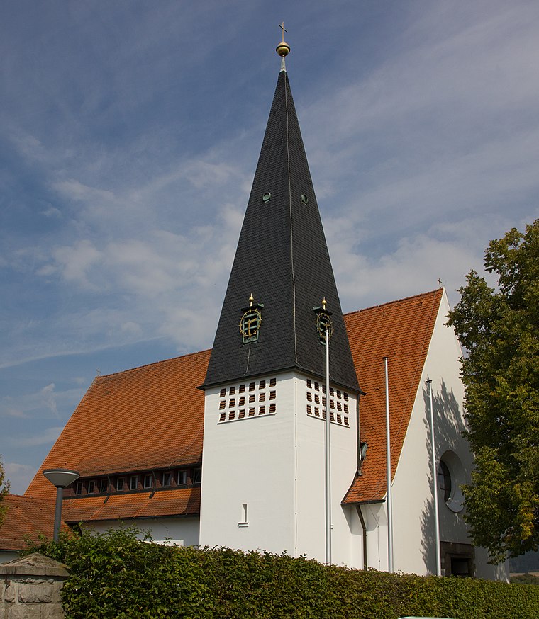
Geographical marker

Photo: Kronach Fotos, CC BY-SA 4.0.
Schwedenstein is a geographical marker.
Places in the Area
Nearby places include Haig and Knellendorf.


Kienberg
- Type: Peak with an elevation of 476 metres
- Description: hill near Kellendorf in Bavaria, Germany
- Categories: hill and landform
- Location: Kronach, Upper Franconia, Franconia, Bavaria, Germany, Central Europe, Europe
- View on OpenStreetMap
Latitude
50.27166° or 50° 16′ 18″ northLongitude
11.28481° or 11° 17′ 5″ eastElevation
476 metres (1,562 feet)Open location code
9F2H77CM+MWOpenStreetMap ID
node 1596010737OpenStreetMap feature
natural=peak
This page is based on OpenStreetMap, GeoNames, Wikidata, and Wikimedia Commons.
We’d love your help improving our open data sources. Thank you for contributing.
Satellite Map
Discover Kienberg from above in high-definition satellite imagery.
In Other Languages
From Cebuano to German—“Kienberg” goes by many names.
- Cebuano: “Kienberg”
- German: “Kienberg”
Places with the Same Name
Discover other places named “Kienberg”.
Localities in the Area
Explore places such as Rottelsdorf (Kronach) and Walkmühle (Kronach).
Notable Places Nearby
Highlights include Kathragrub and FC Wacker Haig.
Upper Franconia: Must-Visit Destinations
Delve into Bamberg, Bayreuth, Coburg, and Hof.
Curious Hills to Discover
Uncover intriguing hills from every corner of the globe.
About Mapcarta. Data © OpenStreetMap contributors and available under the Open Database License". Text is available under the CC BY-SA 4.0 license, except for photos, directions, and the map. Photo: Wikimedia, CC0.