Höing
Höing is a farm in Vreden, Borken, North Rhine-Westphalia. Höing is situated nearby to the locality Dömern, as well as near the village Ottenstein.| Tap on a place to explore it |
Places of Interest
Highlights include Schwattet Gatt and Kapelle Maria-Brunn.
Schwattet Gatt
Nature reserve
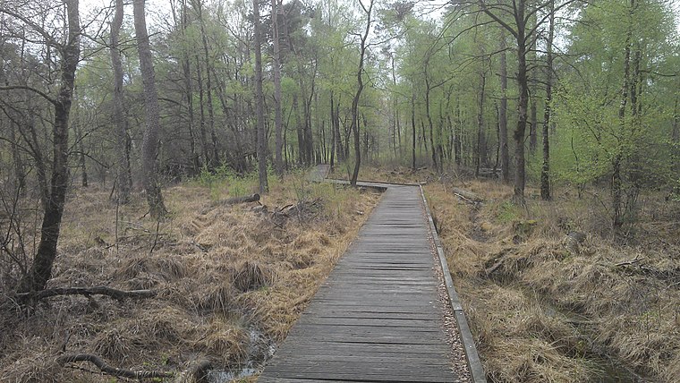
Photo: Spunkinho, CC BY-SA 3.0.
Schwattet Gatt is a nature reserve, which is situated 3½ km north of Höing.
Kapelle Maria-Brunn
Church

Photo: Netzhering, CC BY-SA 3.0.
Kapelle Maria-Brunn is a church, which is situated 3½ km southwest of Höing.
St. Georg
Church

Photo: Konraaad156, CC BY-SA 3.0.
St. Georg is a church, which is situated 3½ km northeast of Höing.
Places in the Area
Nearby places include Lünten and Wüllen.
Lünten
Village
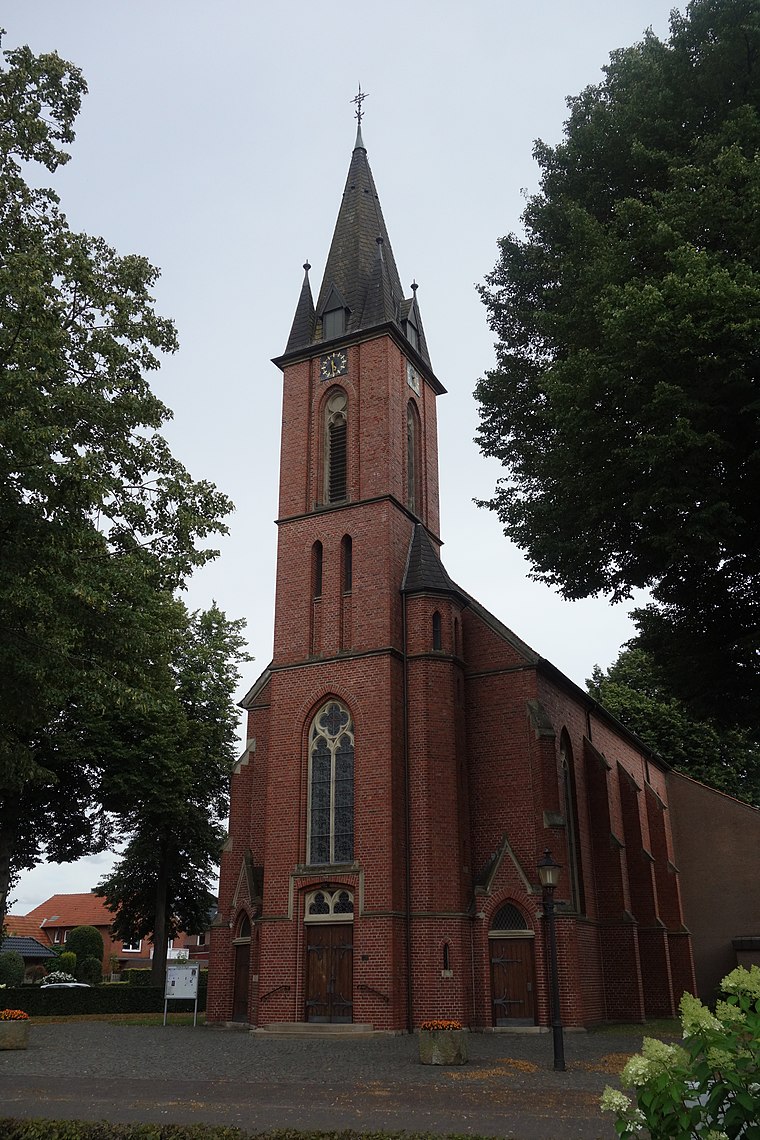
Photo: Vysotsky, CC BY-SA 4.0.
Lünten is a village, which is situated 6 km north of Höing.
Wüllen
Village

Photo: Michielverbeek, CC BY-SA 3.0.
Wüllen is a village, which is situated 7 km east of Höing.
Stadtlohn
Town

Photo: Stadtlohn, CC BY-SA 3.0.
Stadtlohn is a city in western Münsterland in the northwest of North Rhine-Westphalia, and is a district town of the Borken administrative district. The city had a population of 20,746 inhabitants as of 2020. Stadtlohn is situated 7 km south of Höing.
Höing
- Type: Farm
- Also known as: “Hoeing”
- Category: agriculture
- Location: Vreden, Borken, Münster, North Rhine-Westphalia, Germany, Central Europe, Europe
- View on OpenStreetMap
Latitude
52.05° or 52° 3′ northLongitude
6.88333° or 6° 53′ eastElevation
43 metres (141 feet)Open location code
9F483V2M+28GeoNames ID
2900800
This page is based on GeoNames, Wikidata, and Wikimedia Commons.
We’d love your help improving our open data sources. Thank you for contributing.
Satellite Map
Discover Höing from above in high-definition satellite imagery.
Places with the Same Name
Discover other places named “Höing”.
Localities in the Area
Explore places such as Dömern and Ottenstein.
Notable Places Nearby
Highlights include Poiksbrock and Stadtlohn-Vreden Airport.
North Rhine-Westphalia: Must-Visit Destinations
Delve into Cologne, Düsseldorf, Bonn, and Dortmund.
Curious Farms to Discover
Uncover intriguing farms from every corner of the globe.
About Mapcarta. Text is available under the CC BY-SA 4.0 license, except for photos, directions, and the map. Photo: Daniel Schwen, CC BY-SA 2.5.