Großes Moor
Großes Moor is a moor in Lower Saxony, Germany. Großes Moor is situated nearby to the hamlet Hollen, as well as near the locality Brook.| Tap on a place to explore it |
Places of Interest
Highlights include Huntloser Moor and Döhler Wehe.

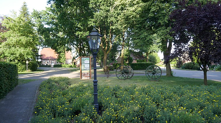
Döhler Wehe
Nature reserve

Photo: Jacek79, CC BY-SA 4.0.
Döhler Wehe is a nature reserve, which is situated 3 km northwest of Großes Moor.
St. Briccius
Church

Photo: Wikimedia, Public domain.
St. Briccius is a church, which is situated 3 km north of Großes Moor.
Places in the Area
Nearby places include Großenkneten and Sandhatten.
Großenkneten
Village

Photo: WilfriedC, CC BY-SA 3.0.
Großenkneten is a municipality in the district of Oldenburg, in Lower Saxony, Germany. Großenkneten is situated 3½ km southwest of Großes Moor.
Dötlingen
Village

Photo: Frank Poppe, Public domain.
Dötlingen is a municipality in the district of Oldenburg, in Lower Saxony, Germany. It is situated approximately 6 km northeast of Wildeshausen, and 25 km southeast of Oldenburg at the Hunte river. Dötlingen is situated 7 km southeast of Großes Moor.
Großes Moor
- Type: Moor
- Also known as: “Grosses Moor”
- Location: Lower Saxony, Germany, Central Europe, Europe
- View on OpenStreetMap
Latitude
52.96378° or 52° 57′ 50″ northLongitude
8.29298° or 8° 17′ 35″ eastElevation
24 metres (79 feet)Open location code
9F4CX77V+G5GeoNames ID
2915733
This page is based on GeoNames, Wikidata, and Wikimedia Commons.
We’d love your help improving our open data sources. Thank you for contributing.
Satellite Map
Discover Großes Moor from above in high-definition satellite imagery.
Places with the Same Name
Discover other places named “Großes Moor”.
Localities in the Area
Explore places such as Hollen and Brook.
Notable Places Nearby
Highlights include Hollenhöhe and Huntlosen railway station.
Lower Saxony: Must-Visit Destinations
Delve into Hanover, Göttingen, Brunswick, and Wolfsburg.
Curious Moors to Discover
Uncover intriguing moors from every corner of the globe.
About Mapcarta. Text is available under the CC BY-SA 4.0 license, except for photos, directions, and the map. Photo: Danapit, CC BY-SA 3.0.