Pennery
Pennery is a country house in Saint-Hilaire-les-Andrésis, Arrondissement of Montargis, Centre-Val de Loire. Pennery is situated nearby to the village Savigny-sur-Clairis, as well as near Domats.| Tap on a place to explore it |
Places of Interest Nearby
Highlights include Église Saint-Hilaire de Saint-Hilaire-les-Andrésis and Église Saint-Pierre-et-Saint-Paul de Courtenay.
Église Saint-Hilaire de Saint-Hilaire-les-Andrésis
Church

Photo: François GOGLINS, CC BY-SA 4.0.
Église Saint-Hilaire de Saint-Hilaire-les-Andrésis is a church, which is situated 2½ km southwest of Pennery.
Église Saint-Pierre-et-Saint-Paul de Courtenay
Church
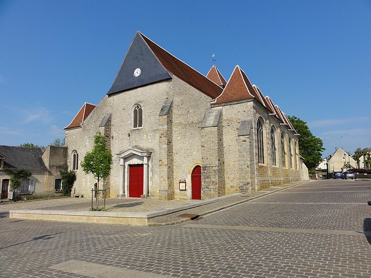
Photo: Qjafcc, CC BY-SA 3.0.
Église Saint-Pierre-et-Saint-Paul de Courtenay is a church, which is situated 3½ km southeast of Pennery.
Église Saint-Antoine-et-Saint-Genet de Foucherolles
Church

Photo: François GOGLINS, CC BY-SA 3.0.
Église Saint-Antoine-et-Saint-Genet de Foucherolles is a church, which is situated 3½ km northwest of Pennery.
Places in the Area
Nearby places include Savigny-sur-Clairis and Domats.
Savigny-sur-Clairis
Village

Photo: Ordifana75, CC BY-SA 3.0.
Savigny-sur-Clairis is a commune in the Yonne department in Bourgogne-Franche-Comté in north-central France. Savigny-sur-Clairis is situated 4 km east of Pennery.
Domats
Village

Photo: Robin Chubret, CC BY-SA 4.0.
Domats is a commune in the Yonne department in Bourgogne-Franche-Comté in north-central France. Domats is situated 6 km north of Pennery.
Vernoy
Village

Photo: Wikimedia, Public domain.
Vernoy is a commune in the Yonne department in Bourgogne-Franche-Comté in north-central France. Vernoy is situated 7 km northeast of Pennery.
Pennery
- Type: Country house
- Categories: residential building and building
- Location: Saint-Hilaire-les-Andrésis, Arrondissement of Montargis, Loiret, Centre-Val de Loire, France, Europe
- View on OpenStreetMap
Latitude
48.06826° or 48° 4′ 6″ northLongitude
3.03973° or 3° 2′ 23″ eastElevation
153 metres (502 feet)Open location code
8FW5329Q+8VGeoNames ID
2988075
This page is based on GeoNames, Wikidata, and Wikimedia Commons.
We’d love your help improving our open data sources. Thank you for contributing.
Satellite Map
Discover Pennery from above in high-definition satellite imagery.
Places with the Same Name
Discover other places named “Pennery”.
Localities in the Area
Explore places such as Les Hauts Bois and Saint-Hilaire-les-Andrésis.
Nearby Places
Explore places such as Étang de Pierre Aigue and Bureau de Poste de Courtenay.
Centre-Val de Loire: Must-Visit Destinations
Delve into Orléans, Tours, Chartres, and Bourges.
Curious Country Houses to Discover
Uncover intriguing country houses from every corner of the globe.
About Mapcarta. Text is available under the CC BY-SA 4.0 license, except for photos, directions, and the map. Photo: PMRMaeyaert, CC BY-SA 3.0.