Hacienda Palmer de Azucar
Hacienda Palmer de Azucar is an estate in Vargas Municipality, Venezuela and has an elevation of 1,185 metres. Hacienda Palmer de Azucar is situated nearby to the locality La Montaña, as well as near Lagunita.| Tap on a place to explore it |
Places of Interest
Highlights include Humboldt Hotel.
Humboldt Hotel
Hotel

Photo: Wikimedia, CC BY-SA 3.0.
Humboldt Hotel is situated 3½ km south of Hacienda Palmer de Azucar.
Places in the Area
Nearby places include Macuto and La Guaira.
Macuto

Photo: Veronidae, CC BY-SA 3.0.
Macuto is a city in the state of La Guaira in Central Venezuela. Macuto is some 10 km from the airport and the adjoining state capital of La Guaira. Since Macuto is served by public buses and the "por Puesto" private jitneys from Caracas, the quiet weekday beaches will become crowded with many Caracenos on weekends.
La Guaira

Photo: Wilfredor, CC BY-SA 3.0.
La Guaria is the capital of the state of La Guaira in Central Venezuela. This is the country's historic port of entry. It is located next to Maiquetia which hosts the airport which sees 90% of the international air traffic in Venezuela and is about 20 minutes drive when there is no traffic from the country capital of Caracas.
Altamira
Suburb
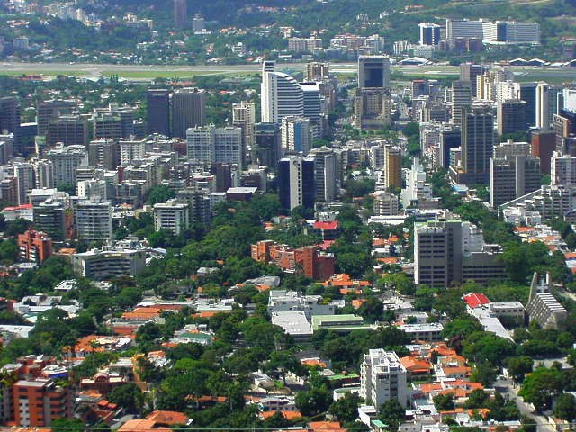
Photo: Kinori, Public domain.
Altamira is a neighborhood located in the Chacao municipality of Caracas, Venezuela. It has its own Metro Station, many hotels and restaurants, and it is an important business and residential center of the city. Altamira is situated 8 km south of Hacienda Palmer de Azucar.
Hacienda Palmer de Azucar
- Type: Estate
- Category: agriculture
- Location: Vargas Municipality, Vargas, Venezuela, South America
- View on OpenStreetMap
Latitude
10.575° or 10° 34′ 30″ northLongitude
-66.87222° or 66° 52′ 20″ westElevation
1,185 metres (3,888 feet)Open location code
772MH4GH+24GeoNames ID
3481154
This page is based on GeoNames, Wikidata, and Wikimedia Commons.
We’d love your help improving our open data sources. Thank you for contributing.
Satellite Map
Discover Hacienda Palmer de Azucar from above in high-definition satellite imagery.
Localities in the Area
Explore places such as La Montaña and Lagunita.
Notable Places Nearby
Highlights include Loma Larga and El Ávila National Park.
Venezuela: Must-Visit Destinations
Delve into Caracas, Mérida, Maracaibo, and Táchira.
Curious Estates to Discover
Uncover intriguing estates from every corner of the globe.
About Mapcarta. Text is available under the CC BY-SA 4.0 license, except for photos, directions, and the map. Photo: Enzo861, CC BY-SA 3.0.