Cerro San Pablo
Cerro San Pablo is a peak in Municipio Tocópero, Falcón and has an elevation of 252 metres. Cerro San Pablo is situated nearby to the locality El Tanque, as well as near the village La Ceibita.| Tap on a place to explore it |
Places in the Area
Nearby places include Tocópero.
Tocópero
Town
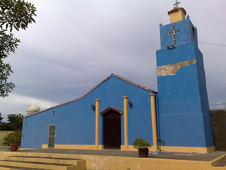
Photo: ArwinJ, CC BY-SA 4.0.
Tocópero is a town, which is situated 10 km northwest of Cerro San Pablo.
Cerro San Pablo
- Type: Peak with an elevation of 252 metres
- Description: mountain in Venezuela; geonames ID = 3806786
- Categories: mountain and landform
- Location: Municipio Tocópero, Falcón, Venezuela, South America
- View on OpenStreetMap
Latitude
11.44911° or 11° 26′ 57″ northLongitude
-69.18614° or 69° 11′ 10″ westElevation
252 metres (827 feet)Open location code
773GCRX7+JGOpenStreetMap ID
node 5873310714OpenStreetMap feature
natural=peak
This page is based on OpenStreetMap, GeoNames, Wikidata, and Wikimedia Commons.
We’d love your help improving our open data sources. Thank you for contributing.
Satellite Map
Discover Cerro San Pablo from above in high-definition satellite imagery.
In Other Languages
From Cebuano to Spanish—“Cerro San Pablo” goes by many names.
- Cebuano: “Cerro San Pablo”
- Spanish: “Cerro San Pablo”
Places with the Same Name
Discover other places named “Cerro San Pablo”.
Localities in the Area
Explore places such as El Tanque and La Ceibita.
Notable Places Nearby
Highlights include Cerro Ricoa Vieja and Cerro El Caballo.
Venezuela: Must-Visit Destinations
Delve into Caracas, Mérida, Maracaibo, and Táchira.
Curious Places to Discover
Uncover intriguing places from every corner of the globe.
About Mapcarta. Data © OpenStreetMap contributors and available under the Open Database License". Text is available under the CC BY-SA 4.0 license, except for photos, directions, and the map. Photo: Wikimedia, CC0.