Agua Salobre
Agua Salobre is an area in Falcón, Venezuela. Agua Salobre is situated nearby to the locality Palo Mocho, as well as near the village Lizardo.| Tap on a place to explore it |
Places of Interest
Highlights include Morrocoy and Cayo Sombrero.
Morrocoy
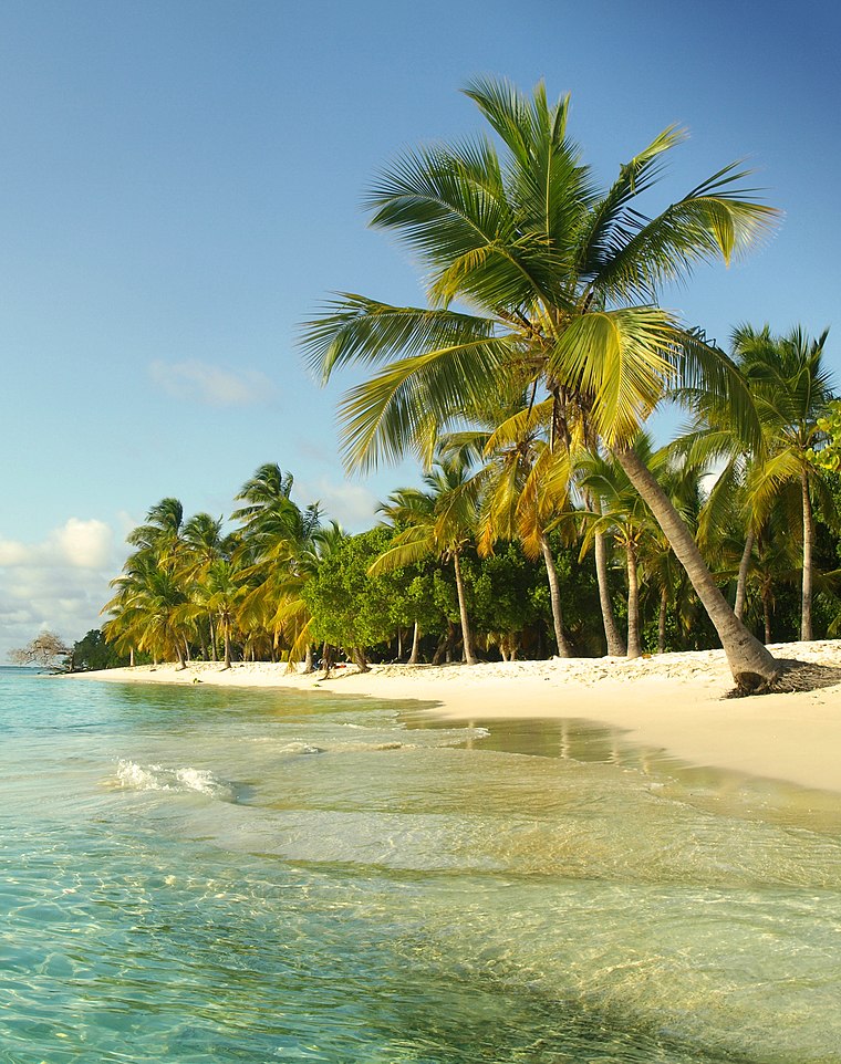
Photo: Venex, CC BY-SA 3.0.
Morrocoy National Park lies on the east coast of Falcón State and the north-west side of Golfo Triste, on the west central Venezuelan coast, near the towns of Boca de Aroa, Tucacas, Sanare, Chichiriviche, and Tocuyo de la Costa.
Cayo Sombrero
Islet
Photo: Venex, CC BY-SA 3.0.
Cayo Sombrero is an islet, which is situated 3½ km northeast of Agua Salobre.
Places in the Area
Nearby places include Chichiriviche.
Chichiriviche

Photo: Radikaltech, CC BY-SA 3.0.
Chichiriviche, also known as Chichiriviche de la Costa, is a Venezuelan city located in Falcón state located on the east coast, 195 km southeast of Coro.
Agua Salobre
- Type: Area
- Location: Falcón, Venezuela, South America
- View on OpenStreetMap
Latitude
10.86889° or 10° 52′ 8″ northLongitude
-68.23889° or 68° 14′ 20″ westElevation
81 metres (266 feet)Open location code
772HVQ96+HCGeoNames ID
3785473
This page is based on GeoNames, Wikidata, and Wikimedia Commons.
We’d love your help improving our open data sources. Thank you for contributing.
Satellite Map
Discover Agua Salobre from above in high-definition satellite imagery.
Localities in the Area
Explore places such as Palo Mocho and Lizardo.
Notable Places Nearby
Highlights include Playa Mayorquina and Playa Los Muertos.
Venezuela: Must-Visit Destinations
Delve into Caracas, Mérida, Maracaibo, and Táchira.
Curious Areas to Discover
Uncover intriguing areas from every corner of the globe.
About Mapcarta. Text is available under the CC BY-SA 4.0 license, except for photos, directions, and the map. Photo: Wikimedia, CC0.