Obstgarten
Obstgarten is a house in Adliswil, Horgen District, Canton of Zurich and has about 3 residents. Obstgarten is situated nearby to Catholic Holy Trinity Church, as well as near Adliswil railway station.| Tap on a place to explore it |
Places of Interest Nearby
Highlights include Adliswil railway station and Catholic Holy Trinity Church.
Adliswil railway station
Railway station

Photo: BRW, CC BY-SA 4.0.
Adliswil is a railway station in the Sihl Valley, and the municipality of Adliswil, in the Swiss Canton of Zürich. The station is on the Sihltal line, which is operated by the Sihltal Zürich Uetliberg Bahn. Adliswil railway station is situated 600 metres east of Obstgarten.
Catholic Holy Trinity Church
Church

Photo: Charly Bernasconi, CC BY-SA 4.0.
Catholic Holy Trinity Church is situated 450 metres east of Obstgarten.
Felsenegg
Peak

Photo: Parpan05, CC BY-SA 3.0.
Felsenegg is a vantage point in the canton of Zürich in Switzerland.
Places in the Area
Nearby places include Leimbach and Kilchberg.
Leimbach
Suburb

Photo: Roland zh, CC BY-SA 3.0.
Leimbach is a quarter in the district 2 in Zürich. It is located in the lower Sihl Valley. It was formerly a municipality of its own, having been incorporated into Zürich in 1893.
Kilchberg
Village
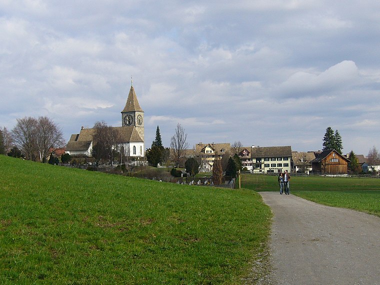
Photo: Wikimedia, CC BY-SA 3.0.
Kilchberg is a municipality in the district of Horgen in the canton of Zürich in Switzerland. Kilchberg is the site of a regional cemetery. Kilchberg is situated 2½ km northeast of Obstgarten.
Stallikon
Village
Stallikon is a municipality in the district of Affoltern in the canton of Zürich in Switzerland. Stallikon is situated 2½ km northwest of Obstgarten.
Obstgarten
- Type: House
- Categories: residential building and building
- Location: Adliswil, Horgen District, Canton of Zurich, Switzerland, Central Europe, Europe
- View on OpenStreetMap
Latitude
47.31306° or 47° 18′ 47″ northLongitude
8.51623° or 8° 30′ 58″ eastPopulation
3Elevation
536 metres (1,759 feet)Open location code
8FVC8G78+6FGeoNames ID
6292666
This page is based on GeoNames, Wikidata, and Wikimedia Commons.
We’d love your help improving our open data sources. Thank you for contributing.
Satellite Map
Discover Obstgarten from above in high-definition satellite imagery.
Places with the Same Name
Discover other places named “Obstgarten”.
Localities in the Area
Explore places such as Bodenacker and Adliswil / Hündli-Zopf.
Nearby Places
Explore places such as Adliswil, Feldblumenstrasse and Adliswil, Bodenacker.
Switzerland: Must-Visit Destinations
Delve into Zurich, Berne, Geneva, and Basel.
Curious Places to Discover
Uncover intriguing places from every corner of the globe.
About Mapcarta. Text is available under the CC BY-SA 4.0 license, except for photos, directions, and the map. Photo: Roland zh, CC BY-SA 3.0.