Raiffeisen Döttingen
Raiffeisen Döttingen is a bank in Döttingen, Zurzach District, Canton of Aargau. Raiffeisen Döttingen is situated nearby to Döttingen railway station, as well as near the village Klingnau.| Tap on a place to explore it |
Places of Interest Nearby
Highlights include Döttingen railway station and Klingnau Castle.
Döttingen railway station
Railway station

Photo: MichaelFrey, CC BY-SA 3.0.
Döttingen railway station is a railway station in the municipality of Döttingen, in the Swiss canton of Aargau. It is an intermediate stop on the standard gauge Turgi–Koblenz–Waldshut line of Swiss Federal Railways. Döttingen railway station is situated 250 metres north of Raiffeisen Döttingen.
Klingnau Castle
Castle

Photo: MichaelFrey, CC BY-SA 3.0.
Klingnau Castle is a castle in the municipality of Klingnau in the Swiss canton of Aargau. Klingnau Castle is situated 1 km northwest of Raiffeisen Döttingen.
Klingnau railway station
Railway station

Photo: MichaelFrey, CC BY-SA 3.0.
Klingnau railway station is a railway station in the municipality of Klingnau, in the Swiss canton of Aargau. It is an intermediate stop on the standard gauge Turgi–Koblenz–Waldshut line of Swiss Federal Railways. Klingnau railway station is situated 1 km northwest of Raiffeisen Döttingen.
Places in the Area
Nearby places include Döttingen and Klingnau.
Döttingen
Village

Photo: MichaelFrey, CC BY-SA 3.0.
Döttingen is a municipality in the district of Zurzach in the canton of Aargau in Switzerland.
Klingnau
Village
 Klingnau is a municipality in the district of Zurzach in the canton of Aargau in Switzerland.
Tegerfelden
Village

Photo: Badener, CC BY-SA 3.0.
Tegerfelden is a municipality in the district of Zurzach in the canton of Aargau in Switzerland. Tegerfelden is situated 2½ km southeast of Raiffeisen Döttingen.
Raiffeisen Döttingen
- Type: Bank
- Also known as: “Raiffeisen Doettingen”
- Location: Döttingen, Zurzach District, Canton of Aargau, Switzerland, Central Europe, Europe
- View on OpenStreetMap
Latitude
47.57306° or 47° 34′ 23″ northLongitude
8.2561° or 8° 15′ 22″ eastElevation
323 metres (1,060 feet)Open location code
8FVCH7F4+6CGeoNames ID
6457655
This page is based on GeoNames, Wikidata, and Wikimedia Commons.
We’d love your help improving our open data sources. Thank you for contributing.
Satellite Map
Discover Raiffeisen Döttingen from above in high-definition satellite imagery.
Localities in the Area
Explore places such as Kleindöttingen and Holzmatten.
Nearby Places
Explore places such as Migros Hauptstrasse 17 and Döttingen, Ochsen.
Switzerland: Must-Visit Destinations
Delve into Zurich, Berne, Geneva, and Basel.
Curious Banks to Discover
Uncover intriguing banks from every corner of the globe.
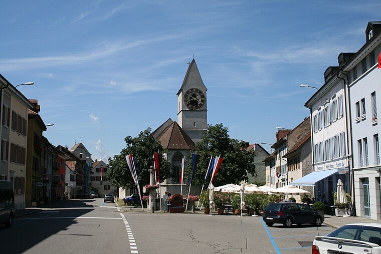
About Mapcarta. Text is available under the CC BY-SA 4.0 license, except for photos, directions, and the map. Photo: Simonizer, CC BY-SA 2.0 de.