East Pennsauken Volunteer Fire Association, No. 1
East Pennsauken Volunteer Fire Association, No. 1 is a building in Pennsauken Township, Camden County, New Jersey. East Pennsauken Volunteer Fire Association, No. 1 is situated nearby to the hamlet Iron Rock, as well as near Fork Landing.| Tap on a place to explore it |
Places of Interest Nearby
Highlights include Pennsauken Transit Center and Maple Shade High School.
Pennsauken Transit Center
Railway station
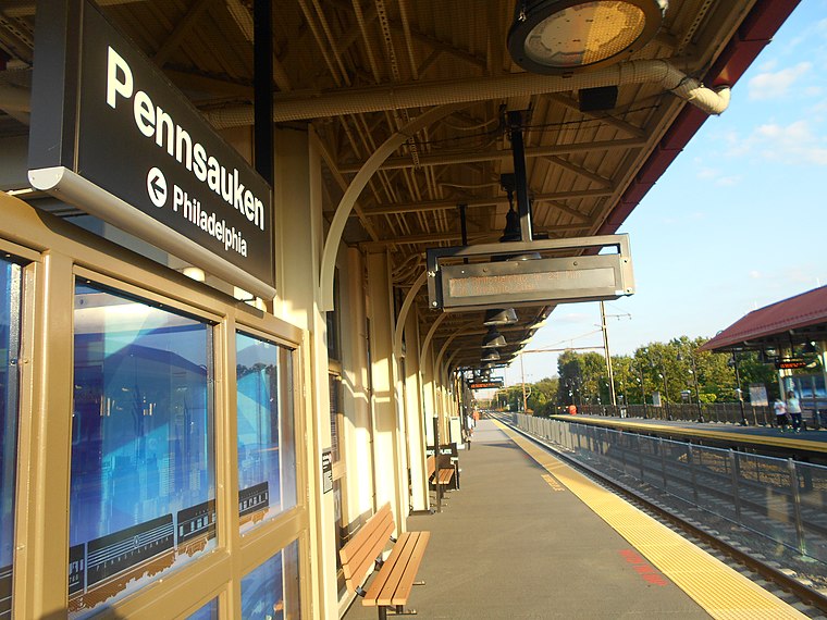
Photo: Wikimedia, CC BY-SA 2.0.
Pennsauken Transit Center is a New Jersey Transit train station in Pennsauken Township, in Camden County, New Jersey, United States. It serves as an intermodal transfer station between the River Line light rail and the Atlantic City Line commuter rail, as well as serving the Delair neighborhood for Pennsauken and the nearby industrial park. Pennsauken Transit Center is situated 2½ miles northwest of East Pennsauken Volunteer Fire Association, No. 1.
Maple Shade High School
School
Maple Shade High School is a comprehensive community public high school that serves students in seventh through twelfth grades from Maple Shade Township, in Burlington County, in the U.S. state of New Jersey, operating as the lone secondary school of the Maple Shade School District. Maple Shade High School is situated 1¼ miles southeast of East Pennsauken Volunteer Fire Association, No. 1.
Cherry Hill station
Railway station
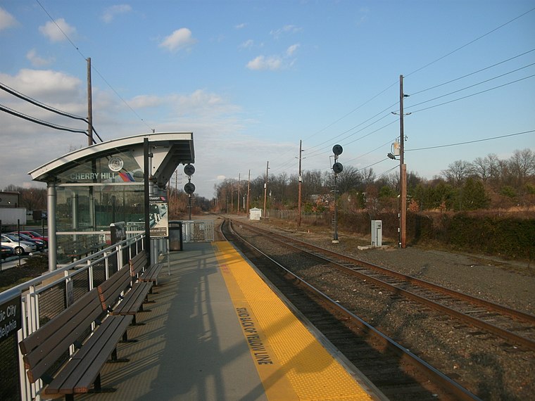
Photo: Adam Moss, CC BY-SA 2.0.
Cherry Hill station is a NJ Transit train station in Cherry Hill, New Jersey, United States, on the Atlantic City Line. Eastbound service is offered to Atlantic City and Westbound service is offered to Philadelphia. Cherry Hill station is situated 2½ miles southwest of East Pennsauken Volunteer Fire Association, No. 1.
Places in the Area
Nearby places include Iron Rock and Fork Landing.
Iron Rock
Hamlet
Pennsauken Township is a township in Camden County, in the Philadelphia Metropolitan Area in the U.S. state of New Jersey, and it is located outside of Philadelphia, Pennsylvania, which it borders directly on the Delaware River.
Fork Landing
Hamlet
Cinnaminson Township is a township in Burlington County, in the U.S. state of New Jersey. Cinnaminson Township borders the Delaware River, and is an eastern suburb of Philadelphia.
Maple Shade Township
Town

Photo: KLOTZ, CC BY-SA 3.0.
Maple Shade Township is a township in Burlington County, in the U.S. state of New Jersey. As of the 2020 United States census, the township's population was 19,980, an increase of 849 from the 2010 census count of 19,131, which in turn reflected an increase of 0.3% from the 19,079 counted in the 2000 census. Maple Shade Township is situated 1½ miles east of East Pennsauken Volunteer Fire Association, No. 1.
East Pennsauken Volunteer Fire Association, No. 1
- Type: Building
- Also known as: “East Pennsauken Fire Station”, “East Pennsauken Volunteer Fire Company”, and “Pennsauken Fire Department Station 1 East Pennsauken Fire Company”
- Location: Pennsauken Township, Camden County, Delaware River Region, New Jersey, Mid-Atlantic, United States, North America
- View on OpenStreetMap
Latitude
39.96057° or 39° 57′ 38″ northLongitude
-75.02307° or 75° 1′ 23″ westElevation
52 feet (16 metres)Open location code
87F6XX6G+6QGeoNames ID
7142223
This page is based on GeoNames, Wikidata, and Wikimedia Commons.
We’d love your help improving our open data sources. Thank you for contributing.
Satellite Map
Discover East Pennsauken Volunteer Fire Association, No. 1 from above in high-definition satellite imagery.
Localities in the Area
Explore places such as Colwick and Bon Air.
Nearby Places
Explore places such as Howard M Phifer Middle School and George B Fine Elementary School.
Camden County: Must-Visit Destinations
Delve into Camden, Haddonfield, Lindenwold, and Runnemede.
Curious Places to Discover
Uncover intriguing places from every corner of the globe.
About Mapcarta. Text is available under the CC BY-SA 4.0 license, except for photos, directions, and the map. Photo: Wikimedia, CC0.