Hotel Aero Park
Hotel Aero Park is a hotel in Londrina, Northern Paraná, Paraná. Hotel Aero Park is situated nearby to the aerodrome Londrina Airport.| Tap on a place to explore it |
Places of Interest Nearby
Highlights include Londrina Airport and Londrina Bus Terminal.
Londrina Airport
Aerodrome
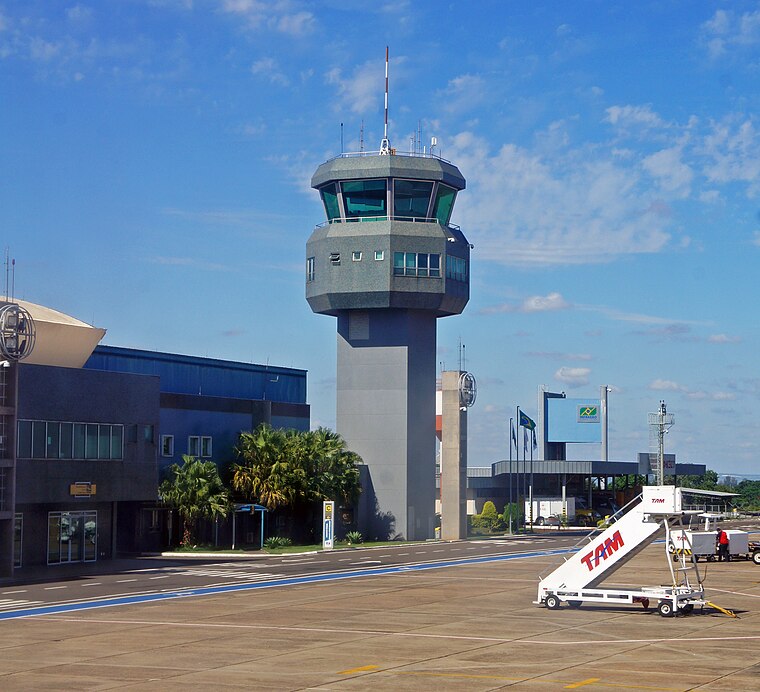
Photo: Mariordo, CC BY-SA 3.0.
Londrina–Gov. José Richa Airport is the airport serving Londrina, Brazil. It is named after José Richa, former mayor of Londrina and Governor of Paraná. It is operated by CCR.
Londrina Bus Terminal
Bus station

Photo: Carlírio Neto, CC BY-SA 4.0.
Londrina Bus Terminal is a bus station, which is situated 2 km northwest of Hotel Aero Park.
Museu Histórico de Londrina
Museum

Photo: Engmguerra, Public domain.
Museu Histórico de Londrina is a museum, which is situated 2½ km northwest of Hotel Aero Park.
Hotel Aero Park
- Type: Hotel
- Also known as: “Hotel AeroPark”
- Categories: tourism, accommodation, and building
- Location: Londrina, Northern Paraná, Paraná, South, Brazil, South America
- View on OpenStreetMap
Latitude
-23.32551° or 23° 19′ 32″ southLongitude
-51.14072° or 51° 8′ 27″ westElevation
567 metres (1,860 feet)Open location code
588CMVF5+QPOpenStreetMap ID
node 1695485019OpenStreetMap feature
tourism=hotelGeoNames ID
7279589
This page is based on OpenStreetMap, GeoNames, Wikidata, and Wikimedia Commons.
We’d love your help improving our open data sources. Thank you for contributing.
Satellite Map
Discover Hotel Aero Park from above in high-definition satellite imagery.
Localities in the Area
Explore places such as Brasilia and Vila Brasil.
Nearby Places
Explore places such as UNIPAX - União de Convênios and Colégio Uninorte Júnior.
Paraná: Must-Visit Destinations
Delve into Curitiba, Foz do Iguaçu, Maringá, and Ponta Grossa.
Curious Hotels to Discover
Uncover intriguing hotels from every corner of the globe.
About Mapcarta. Data © OpenStreetMap contributors and available under the Open Database License". Text is available under the CC BY-SA 4.0 license, except for photos, directions, and the map. Photo: Carlos Ebert, CC BY 2.0.