Pousada do Pilar
Pousada do Pilar is a hotel in Salvador, Grande Salvador, Bahia. Pousada do Pilar is situated nearby to the monument Oratório da Cruz do Pascoal, as well as near Church of the Third Order of the Blessed Virgin Mary of Our Lady of the Conception of the Mulatto Brothers.| Tap on a place to explore it |
Places of Interest Nearby
Highlights include Church of the Third Order of the Blessed Virgin Mary of Our Lady of the Conception of the Mulatto Brothers and Oratório da Cruz do Pascoal.
Church of the Third Order of the Blessed Virgin Mary of Our Lady of the Conception of the Mulatto Brothers
Church

Photo: Wikimedia, CC BY-SA 4.0.
The Church of the Third Order of the Blessed Virgin Mary of Our Lady of the Conception of the Mulatto Brothers is an 18th-century Roman Catholic church and former convent in Salvador, Bahia, Brazil. Church of the Third Order of the Blessed Virgin Mary of Our Lady of the Conception of the Mulatto Brothers is situated 110 metres northeast of Pousada do Pilar.
Oratório da Cruz do Pascoal
Monument

Photo: Wikimedia, CC BY-SA 4.0.
Oratório da Cruz do Pascoal is a monument.
Church of the Third Order of Mount Carmel
Church

Photo: Turismo Bahia, CC BY-SA 2.0.
The Church of the Third Order of Mount Carmel is an 18th-century Roman Catholic church in Salvador, Bahia, Brazil. It is located adjacent to the Church and Convent of Our Lady of Mount Carmel. Church of the Third Order of Mount Carmel is situated 270 metres south of Pousada do Pilar.
Places in the Area
Nearby places include Água de Meninos and Horto Bela Vista.

Horto Bela Vista
Neighborhood
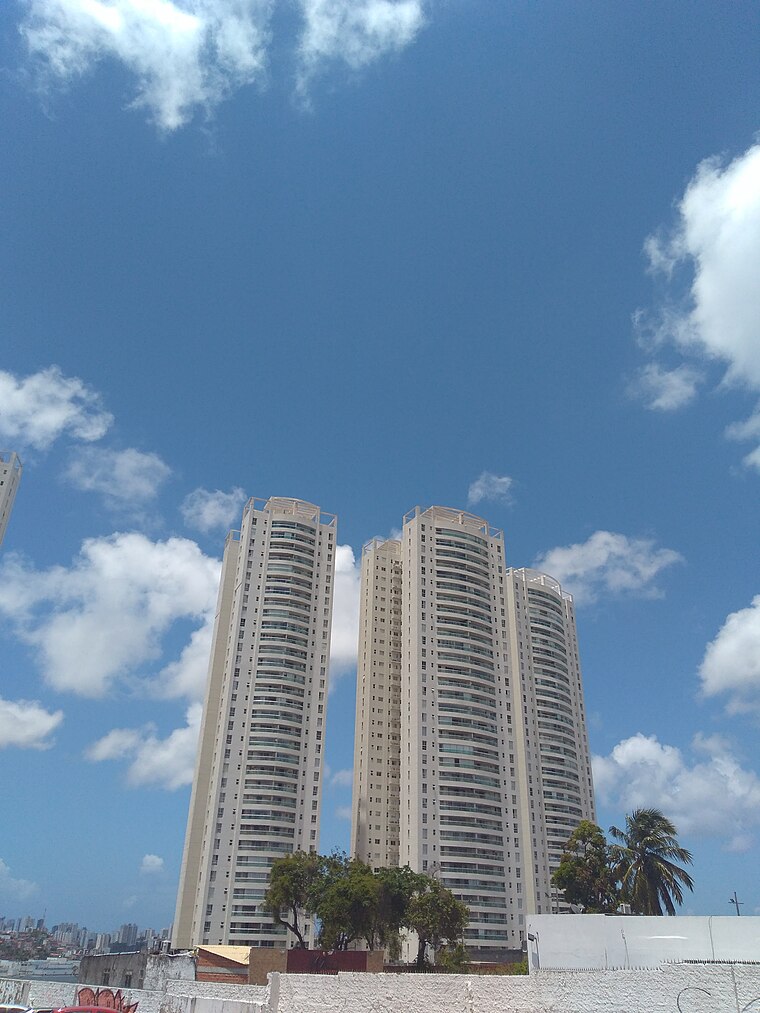
Photo: Ajmcbarreto, CC BY-SA 4.0.
Horto Bela Vista is a neighborhood, which is situated 3½ km east of Pousada do Pilar.
Graça
Suburb

Photo: Sailko, CC BY-SA 4.0.
Graça is a neighborhood located in the southern zone of Salvador, Bahia. It is one of the oldest neighborhoods in Salvador. The Church and Monastery of Our Lady of Grace is located in Graça. Graça is situated 4 km southwest of Pousada do Pilar.
Pousada do Pilar
- Type: Hotel
- Categories: building, tourism, and accommodation
- Location: Salvador, Grande Salvador, Bahia, Northeast, Brazil, South America
- View on OpenStreetMap
Latitude
-12.96694° or 12° 58′ 1″ southLongitude
-38.50647° or 38° 30′ 23″ westElevation
59 metres (194 feet)Open location code
59V32FMV+6COpenStreetMap ID
way 1250092534OpenStreetMap feature
building=yesOpenStreetMap feature
tourism=hotelGeoNames ID
7283936
This page is based on OpenStreetMap, GeoNames, Wikidata, and Wikimedia Commons.
We’d love your help improving our open data sources. Thank you for contributing.
Satellite Map
Discover Pousada do Pilar from above in high-definition satellite imagery.
Localities in the Area
Explore places such as Santo Antônio and Sete Portas.
Nearby Places
Explore places such as Ziggy Pizza Pub and Pousada do Boqueirão.
Grande Salvador: Must-Visit Destinations
Delve into Santo Antônio de Jesus, Cachoeira, Itaparica, and Praia do Forte.
Curious Hotels to Discover
Uncover intriguing hotels from every corner of the globe.
About Mapcarta. Data © OpenStreetMap contributors and available under the Open Database License". Text is available under the CC BY-SA 4.0 license, except for photos, directions, and the map. Photo: Wikimedia, CC0.