Stayton Rural Fire Protection District Marion Station
Stayton Rural Fire Protection District Marion Station is a building in Marion, Oregon. Stayton Rural Fire Protection District Marion Station is situated nearby to the village Jefferson, as well as near the hamlet West Scio.| Tap on a place to explore it |
Places in the Area
Nearby places include Jefferson and West Scio.
Jefferson
Village
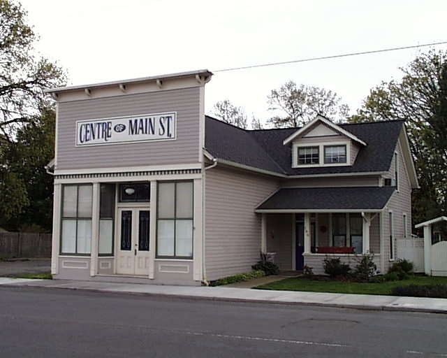
Photo: Katr67, Public domain.
Jefferson is a city in Marion County, Oregon, United States. It is part of the Salem Metropolitan Statistical Area. The population was 3,327 at the 2020 census. Jefferson is situated 4 miles southwest of Stayton Rural Fire Protection District Marion Station.
West Scio
Hamlet
West Scio is an unincorporated community and census-designated place in Linn County, Oregon, United States. It lies at the intersection of Jefferson–Scio Road and West Scio Road about 2 miles west of Scio. As of the 2010 census, the population was 120. West Scio is situated 4 miles southeast of Stayton Rural Fire Protection District Marion Station.
Scio
Village
 Scio is a city in Linn County, Oregon, United States. Located east of Jefferson and south of Stayton, it sits along Oregon Route 226 near the confluence of the north and south forks of the Santiam River. Scio is situated 5 miles southeast of Stayton Rural Fire Protection District Marion Station.
Stayton Rural Fire Protection District Marion Station
- Type: Building
- Location: Marion, Oregon, Pacific Northwest, United States, North America
- View on OpenStreetMap
Latitude
44.75034° or 44° 45′ 1″ northLongitude
-122.93975° or 122° 56′ 23″ westElevation
305 feet (93 metres)Open location code
84PVQ326+43GeoNames ID
7310415
This page is based on GeoNames, Wikidata, and Wikimedia Commons.
We’d love your help improving our open data sources. Thank you for contributing.
Satellite Map
Discover Stayton Rural Fire Protection District Marion Station from above in high-definition satellite imagery.
Localities in the Area
Explore places such as Marion and Shelburn.
Nearby Places
Explore places such as Marion Post Office and Marion Elementary School.
Oregon: Must-Visit Destinations
Delve into Portland, Salem, Eugene, and Astoria.
Curious Buildings to Discover
Uncover intriguing buildings from every corner of the globe.
About Mapcarta. Text is available under the CC BY-SA 4.0 license, except for photos, directions, and the map. Photo: Wikimedia, CC BY-SA 3.0.