Rama
Rama is a locality in North York, Toronto, Ontario. Rama is situated nearby to the neighborhood York Height, as well as near Parkway West.| Tap on a place to explore it |
Places of Interest
Highlights include Hawthorn School for Girls and WillowWood School.
Hawthorn School for Girls
School
Hawthorn School for Girls is a private, independent, all-girls school located in Toronto, Ontario, Canada, and offers a Catholic education. It was established in 1989.
WillowWood School
School
WillowWood School is an alternative private school in Toronto, Ontario, Canada for Grades JK through 12. It was founded in 1980 by owner/principal Joy Kurtz.
The Giles School
Building
The Giles School is a private French immersion school located in Toronto, Ontario, Canada. The school was founded in 1989 by Harry Giles, CM, QC - a pioneer in bilingual French immersion in Canada and the founder of the Toronto French School.
Places in the Area
Nearby places include Henry Farm and Don Mills.
Henry Farm
Neighborhood

Photo: GTD Aquitaine, Public domain.
Henry Farm is a neighbourhood in the City of Toronto, Ontario, Canada. It is located in the north central part of the city within the former city of North York.
Don Mills
Neighborhood
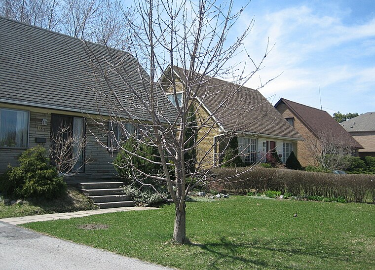
Photo: SimonP, CC BY-SA 3.0.
Don Mills is a mixed-use neighbourhood in Toronto, Ontario, Canada. It was developed in the 1950s and 1960s to be a self-supporting "new town" and was at the time located outside Toronto proper in the suburb of North York.
Parkway Forest
Neighborhood

Photo: Silver Dovelet, CC BY-SA 3.0.
Parkway Forest is a neighbourhood in Toronto, Ontario, Canada. It is located in the north of the city, in the former suburb of North York. Parkway Forest is bounded on the west by Don Mills Road, on the north by Sheppard Avenue, on the east by the Don Valley Parkway, and on the south by Highway 401.
Rama
- Type: Locality
- Location: North York, Toronto, Greater Toronto Area, Ontario, Canada, North America
- View on OpenStreetMap
Latitude
43.75419° or 43° 45′ 15″ northLongitude
-79.35183° or 79° 21′ 7″ westElevation
134 metres (440 feet)Open location code
87M2QJ3X+M7GeoNames ID
8556163
This page is based on GeoNames, Wikidata, and Wikimedia Commons.
We’d love your help improving our open data sources. Thank you for contributing.
Satellite Map
Discover Rama from above in high-definition satellite imagery.
Places with the Same Name
Discover other places named “Rama”.
Localities in the Area
Explore places such as York Height and Parkway West.
Notable Places Nearby
Highlights include North York General Hospital and IKEA.
Toronto: Must-Visit Destinations
Delve into Yorkville and the Annex, Midtown, East End, and Downtown East.
Curious Places to Discover
Uncover intriguing places from every corner of the globe.
About Mapcarta. Text is available under the CC BY-SA 4.0 license, except for photos, directions, and the map. Photo: S23678, CC BY-SA 3.0.