Zelenište
Zelenište is a slope in Dolneni Municipality, North Macedonia. Zelenište is situated nearby to the village Strovija, as well as near the locality Grebište.| Tap on a place to explore it |
Places of Interest
Highlights include St. Eliyah and Gostiražni train station.

Gostiražni train station
Railway station

Photo: Petrovskyz, CC BY-SA 4.0.
Gostiražni train station is a railway station, which is situated 2½ km east of Zelenište.

Places in the Area
Nearby places include Strovija and Gostiražni.
Strovija
Village

Photo: Kiril Simeonovski, CC BY-SA 4.0.
Strovija is a village in the municipality of Dolneni, North Macedonia.
Gostiražni
Village
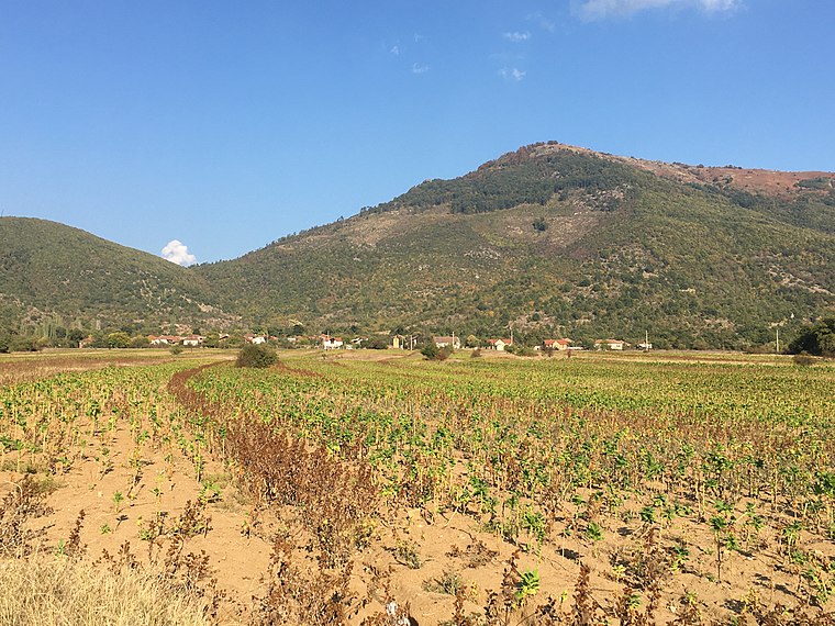
Photo: Kiril Simeonovski, CC BY-SA 4.0.
Gostiražni is a village in the municipality of Dolneni, North Macedonia.
Crnilište
Village

Photo: Kiril Simeonovski, CC BY-SA 4.0.
Crnilište is a village in the municipality of Dolneni, North Macedonia. Crnilište is situated 2½ km southeast of Zelenište.
Zelenište
- Type: Slope
- Also known as: “Zeleniste”
- Category: landform
- Location: Dolneni Municipality, North Macedonia, Balkans, Europe
- View on OpenStreetMap
Latitude
41.55096° or 41° 33′ 4″ northLongitude
21.40293° or 21° 24′ 11″ eastElevation
704 metres (2,310 feet)Open location code
8GH3HC23+95GeoNames ID
10249318
This page is based on GeoNames, Wikidata, and Wikimedia Commons.
We’d love your help improving our open data sources. Thank you for contributing.
Satellite Map
Discover Zelenište from above in high-definition satellite imagery.
In Other Languages
“Zelenište” goes by many names.
- Macedonian: “Zelenište”
- Macedonian: “Зелениште”
Localities in the Area
Explore places such as Grebište and Uroišta.
Notable Places Nearby
Highlights include Čuka and Dve Dabčina.
North Macedonia: Must-Visit Destinations
Delve into Skopje, Ohrid, Bitola, and Tetovo.
Curious Slopes to Discover
Uncover intriguing slopes from every corner of the globe.
About Mapcarta. Text is available under the CC BY-SA 4.0 license, except for photos, directions, and the map. Photo: Pudelek, CC BY-SA 3.0.