Olten, Bahnhof
Olten, Bahnhof is a bus stop in Olten, Canton of Solothurn. Olten, Bahnhof is situated nearby to Olten railway station, as well as near the theater building Concert hall and administration building Olten.| Tap on a place to explore it |
Places of Interest Nearby
Highlights include Olten railway station and Concert hall and administration building Olten.
Olten railway station
Railway station

Photo: JoachimKohler-HB, CC BY-SA 4.0.
Olten railway station is a major hub railway station in the canton of Solothurn, Switzerland, at the junction of lines to Zürich, Bern, Basel, Lucerne and Biel.
Concert hall and administration building Olten
Theater building
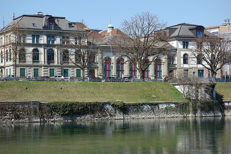
Photo: Paebi, CC BY-SA 4.0.
Concert hall and administration building Olten is a theater building, which is situated 200 metres west of Olten, Bahnhof.
Municipal library Olten
Library

Photo: Geosketch, CC BY-SA 4.0.
Municipal library Olten is situated 290 metres southwest of Olten, Bahnhof.
Places in the Area
Nearby places include Olten and Trimbach.
Olten
Town

Photo: Wikimedia, CC BY-SA 3.0.
Olten is a town in the canton of Solothurn in Switzerland and capital of the district of the same name. Olten grew into a town during the Middle Ages at the location of a bridge over the Aare.
Trimbach
Village

Photo: DidiWeidmann, CC BY-SA 3.0.
Trimbach is a municipality in the district of Gösgen in the canton of Solothurn in Switzerland.
Starrkirch-Wil
Village

Photo: DidiWeidmann, CC BY-SA 3.0.
Starrkirch-Wil is a municipality in the district of Olten in the canton of Solothurn in Switzerland.
Olten, Bahnhof
- Type: Bus stop
- Also known as: “Olten Bahnhof”
- Categories: transport stop and transportation
- Location: Olten, Olten District, Canton of Solothurn, Switzerland, Central Europe, Europe
- View on OpenStreetMap
Latitude
47.35185° or 47° 21′ 7″ northLongitude
7.90688° or 7° 54′ 25″ eastElevation
393 metres (1,289 feet)Operator
BOGGNetwork
A-WelleOpen location code
8FV99W24+PQOpenStreetMap ID
node 7246757603OpenStreetMap feature
public_transport=stop_positionGeoNames ID
10398445
This page is based on OpenStreetMap, GeoNames, Wikidata, and Wikimedia Commons.
We’d love your help improving our open data sources. Thank you for contributing.
Satellite Map
Discover Olten, Bahnhof from above in high-definition satellite imagery.
In Other Languages
“Olten, Bahnhof” goes by many names.
- German: “Olten, Bahnhof”
Places with the Same Name
Discover other places named “Olten, Bahnhof”.
Localities in the Area
Explore places such as Dickenbänli and Gerolag.
Nearby Places
Explore places such as Olten Bahnhof and Tre Farine.
Switzerland: Must-Visit Destinations
Delve into Zurich, Berne, Geneva, and Basel.
Curious Bus Stops to Discover
Uncover intriguing bus stops from every corner of the globe.
About Mapcarta. Data © OpenStreetMap contributors and available under the Open Database License". Text is available under the CC BY-SA 4.0 license, except for photos, directions, and the map. Photo: Simonizer, CC BY-SA 2.0 de.