Vuadens
Vuadens is a house in Villeneuve (VD), Aigle District, Vaud and has an elevation of 1,117 metres. Vuadens is situated nearby to the peak Rochers de Naye, as well as near the village Caux.| Tap on a place to explore it |
Places of Interest Nearby
Highlights include Rochers de Naye and Rochers-de-Naye railway station.
Rochers de Naye
Peak

Photo: Sumspic, CC BY-SA 3.0.
The Rochers de Naye is a mountain of the Swiss Alps, overlooking Lake Geneva near Montreux and Villeneuve, in the canton of Vaud. They lie on the range separating the basin of Lake Geneva from the valley of the Sarine, on the watershed between the Rhone and the Rhine.
Rochers-de-Naye railway station
Railway station

Photo: Remontees, CC BY-SA 4.0.
Rochers-de-Naye railway station is situated 2 km northeast of Vuadens.
Malatraix
Scenic viewpoint
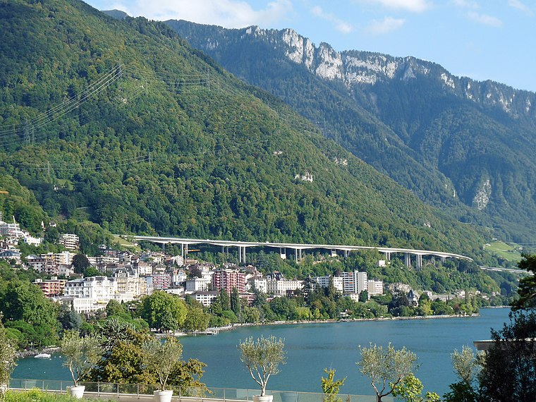
Photo: Ji-Elle, CC BY-SA 3.0.
The Malatraix is a mountain and ridge of the Swiss Prealps, overlooking Lake Geneva in the canton of Vaud. The summit is 1,931 metres high, while the rocky part of the southwestern ridge culminates at 1,768 metres. Malatraix is situated 2½ km south of Vuadens.
Places in the Area
Nearby places include Caux and Veytaux.
Caux
Village

Photo: Mykola Swarnyk, CC BY-SA 3.0.
Caux is a small village in the Canton of Vaud, Switzerland which is part of the Montreux municipality. It looks out over Lake Geneva from an altitude of 1000 meters. Caux is situated 3 km northwest of Vuadens.
Veytaux
Village

Photo: Espandero, CC BY-SA 4.0.
Veytaux is a municipality in the Riviera-Pays-d'Enhaut district in the canton of Vaud in Switzerland. The Château de Chillon across the Avenue de Chillon on Lake Geneva provides a view of the entire lake looking westward. Veytaux is situated 3 km west of Vuadens.
Territet
Village

Photo: Traumrune, CC BY-SA 3.0.
Territet is a locality which is part of the Montreux commune, in the Vaud canton, Switzerland. Territet is situated 3½ km west of Vuadens.
Vuadens
- Type: House
- Categories: residential building and building
- Location: Villeneuve (VD), Aigle District, Vaud, Western Switzerland, Switzerland, Central Europe, Europe
- View on OpenStreetMap
Latitude
46.41519° or 46° 24′ 55″ northLongitude
6.9671° or 6° 58′ 2″ eastElevation
1,117 metres (3,665 feet)Open location code
8FR8CX88+3RGeoNames ID
11215495
This page is based on GeoNames, Wikidata, and Wikimedia Commons.
We’d love your help improving our open data sources. Thank you for contributing.
Satellite Map
Discover Vuadens from above in high-definition satellite imagery.
In Other Languages
“Vuadens” goes by many names.
- French: “Vuadens”
Places with the Same Name
Discover other places named “Vuadens”.
Localities in the Area
Explore places such as Grandchamp and Veytaux.
Nearby Places
Explore places such as Les Clavons and Les Troncs.
Vaud: Must-Visit Destinations
Delve into Lausanne, Montreux, Nyon, and Vevey.
Curious Houses to Discover
Uncover intriguing houses from every corner of the globe.
About Mapcarta. Text is available under the CC BY-SA 4.0 license, except for photos, directions, and the map. Photo: Annickjaquillard, CC BY-SA 4.0.