Les Combasses
Les Combasses is a house in Ollon, Aigle District, Vaud and has an elevation of 1,279 metres. Les Combasses is situated nearby to the village Huémoz, as well as near the peak Le Chamossaire.| Tap on a place to explore it |
Places of Interest Nearby
Highlights include Collège Alpin International Beau Soleil and Le Chamossaire.
Collège Alpin International Beau Soleil
College

Photo: En08sijp, CC BY-SA 3.0.
Collège Alpin International Beau Soleil, known informally as Beau Soleil, is a private boarding school in Switzerland. Founded in 1910 by Madame Bluette Ferrier, it is located 1,350 metres above sea level on the Swiss Alps of Villars-sur-Ollon. Collège Alpin International Beau Soleil is situated 2 km east of Les Combasses.
Le Chamossaire
Peak

Photo: Braegel, CC BY-SA 4.0.
Le Chamossaire is a mountain part of the Alpes Vaudoises, overlooking Villars-sur-Ollon on its south face and Les Ormonts valley on its north face. It is located in the canton of Vaud. Le Chamossaire is situated 3½ km northeast of Les Combasses.
Reformed Church
Church

Photo: Emmanuelle Adjoa Bessi, CC BY-SA 4.0.
Reformed Church is situated 1½ km south of Les Combasses.
Places in the Area
Nearby places include Huémoz and Villars-sur-Ollon.
Villars-sur-Ollon

Photo: בידל הפייטן, CC BY-SA 3.0.
Villars sur Ollon is a village in Switzerland in the canton of Vaud. It is part of the municipality of Ollon. Villars is a ski resort close to Montreux and Saint-Maurice, which offers a reasonable range of pistes at a moderate altitude.
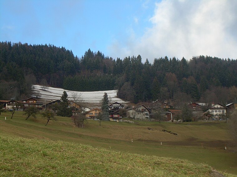
Veyges
Hamlet

Photo: Classiccardinal, CC BY-SA 4.0.
Veyges is a hamlet, which is situated 4 km northwest of Les Combasses.
Les Combasses
- Type: House
- Categories: residential building and building
- Location: Ollon, Aigle District, Vaud, Western Switzerland, Switzerland, Central Europe, Europe
- View on OpenStreetMap
Latitude
46.30629° or 46° 18′ 23″ northLongitude
7.02764° or 7° 1′ 40″ eastElevation
1,279 metres (4,196 feet)Open location code
8FR9824H+G3GeoNames ID
11216530
This page is based on GeoNames, Wikidata, and Wikimedia Commons.
We’d love your help improving our open data sources. Thank you for contributing.
Satellite Map
Discover Les Combasses from above in high-definition satellite imagery.
In Other Languages
“Les Combasses” goes by many names.
- French: “Les Combasses”
Places with the Same Name
Discover other places named “Les Combasses”.
Localities in the Area
Explore places such as Panex and Chesières.
Nearby Places
Explore places such as Les Ecovets and Le Crot.
Vaud: Must-Visit Destinations
Delve into Lausanne, Montreux, Nyon, and Vevey.
Curious Houses to Discover
Uncover intriguing houses from every corner of the globe.
About Mapcarta. Text is available under the CC BY-SA 4.0 license, except for photos, directions, and the map. Photo: Annickjaquillard, CC BY-SA 4.0.