Kesiat
Kesiat is a stream in Tororo District, Eastern Uganda and has an elevation of 1,203 metres. Kesiat is situated nearby to the locality Akworot, as well as near Petta.| Tap on a place to explore it |
Places in the Area
Nearby places include Tororo.
Tororo
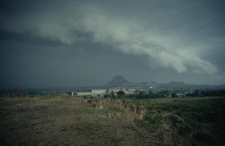
Photo: Wikimedia, CC BY-SA 2.5.
Tororo is a town in the Eastern Region of Uganda. It is the main municipal, administrative, and commercial center of Tororo District.
Kesiat
- Type: Stream
- Category: body of water
- Location: Tororo District, Eastern Uganda, Uganda, East Africa, Africa
- View on OpenStreetMap
Latitude
0.76389° or 0° 45′ 50″ northLongitude
34.21694° or 34° 13′ 1″ eastElevation
1,203 metres (3,947 feet)Open location code
6GGPQ678+HQGeoNames ID
11433856
This page is based on GeoNames, Wikidata, and Wikimedia Commons.
We’d love your help improving our open data sources. Thank you for contributing.
Satellite Map
Discover Kesiat from above in high-definition satellite imagery.
Localities in the Area
Explore places such as Akworot and Petta.
Notable Places Nearby
Highlights include Tebakoli Forest Reserve and Bumatanda.
Eastern Uganda: Must-Visit Destinations
Delve into Jinja, Mbale, Soroti, and Tororo.
Curious Streams to Discover
Uncover intriguing streams from every corner of the globe.
About Mapcarta. Text is available under the CC BY-SA 4.0 license, except for photos, directions, and the map. Photo: Wikimedia, CC0.