Winteregg
Winteregg is a house in Kandersteg, Frutigen-Niedersimmental, Canton of Bern and has an elevation of 1,899 metres. Winteregg is situated nearby to Gastern Valley, as well as near the mountain saddle Bunderchrinde Pass.| Tap on a place to explore it |
Places of Interest Nearby
Highlights include Gastern Valley and Innerer Fisistock.
Gastern Valley
Valley
The Gastern Valley is a valley near Kandersteg in the Bernese Oberland in Switzerland. The Kander river flows through it. The rear valley basin is about 1,600 metres above sea level, while the valley exit is about 1,350 metres above sea level.
Innerer Fisistock
Peak

Photo: Caumasee, Public domain.
The Innerer Fisistock is a mountain of the Bernese Alps, overlooking Kandersteg in the Bernese Oberland. It lies at the western end the Blüemlisalp chain. Innerer Fisistock is situated 3 km east of Winteregg.
Bunderchrinde Pass
Mountain saddle
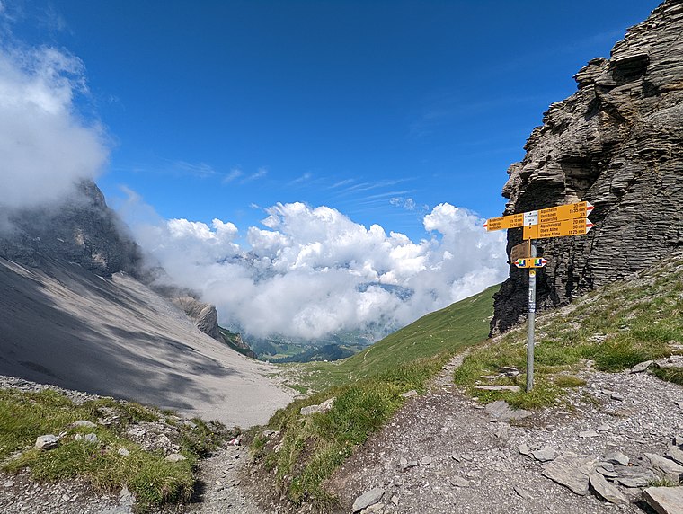
Photo: UCaetano, CC BY-SA 4.0.
The Bunderchrinde Pass is a mountain pass of the Bernese Alps. The pass crosses the col between the peaks of Gross Lohner and Chlyne Lohner, at an elevation of 2,385 m. Bunderchrinde Pass is situated 3 km northwest of Winteregg.
Places in the Area
Nearby places include Mitholz and Adelboden.
Mitholz
Hamlet

Photo: Draemmli, CC BY-SA 4.0.
Mitholz or Blausee-Mitholz is a village in Kandergrund municipality in the canton of Bern in Switzerland, with 170 inhabitants as of 2020. Blausee-Mitholz is a station on the Lötschberg railway line. Mitholz is situated 8 km north of Winteregg.
Adelboden
Village

Photo: Barbe-sauvage, CC0.
Adelboden is a mountain village and a municipality in Switzerland, located in the Frutigen-Niedersimmental administrative district in the Bernese Highlands. Adelboden is situated 8 km northwest of Winteregg.
Leukerbad
 Leukerbad is a mountain spa and ski resort in the canton of Valais in Switzerland. It is best known for its thermal springs and unique mountains scenery.
Winteregg
- Type: House
- Categories: residential building and building
- Location: Kandersteg, Frutigen-Niedersimmental, Canton of Bern, Bernese Highlands, Switzerland, Central Europe, Europe
- View on OpenStreetMap
Latitude
46.45973° or 46° 27′ 35″ northLongitude
7.65063° or 7° 39′ 2″ eastElevation
1,899 metres (6,230 feet)Open location code
8FR9FM52+V7GeoNames ID
11465913
This page is based on GeoNames, Wikidata, and Wikimedia Commons.
We’d love your help improving our open data sources. Thank you for contributing.
Satellite Map
Discover Winteregg from above in high-definition satellite imagery.
In Other Languages
“Winteregg” goes by many names.
- German: “Winteregg”
Places with the Same Name
Discover other places named “Winteregg”.
Localities in the Area
Explore places such as Eggenschwand and Unterbächen.
Nearby Places
Explore places such as Sunnbüel and Stock.
Bernese Highlands: Must-Visit Destinations
Delve into Thun, Interlaken, Lauterbrunnen, and Grindelwald.
Curious Houses to Discover
Uncover intriguing houses from every corner of the globe.
About Mapcarta. Text is available under the CC BY-SA 4.0 license, except for photos, directions, and the map. Photo: Chmee2, CC BY 3.0.