Spina
Spina is a house in Thusis, Viamala Region, Graubünden and has an elevation of 1,606 metres. Spina is situated nearby to the church Reformierte Kirche Mutten, as well as near the hamlet Obermutten.| Tap on a place to explore it |
Places of Interest Nearby
Highlights include Reformierte Kirche Mutten and Viamala.
Reformierte Kirche Mutten
Church
 Reformierte Kirche Mutten is a church, which is situated 580 metres northeast of Spina.
Viamala

Photo: Biovit, Public domain.
Viamala or Via Mala is a narrow gorge along the river Hinterrhein between Zillis-Reischen and Thusis in the Canton of Graubünden, Switzerland, as well as the ancient and notorious pathway which traverses the gorge. Viamala is situated 4 km west of Spina.

Places in the Area
Nearby places include Mutten and Obermutten.
Mutten
Village
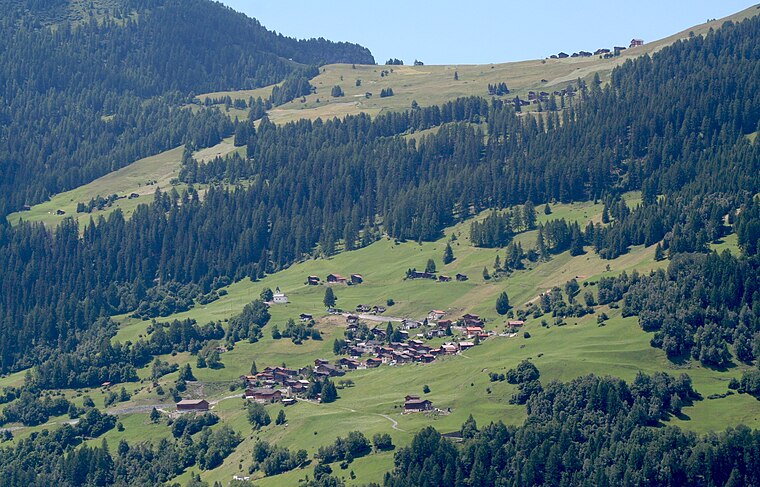
Photo: Parpan05, CC BY-SA 3.0.
Mutten is a former municipality in the Viamala Region in the canton of Graubünden in Switzerland. On 1 January 2018 the former municipality of Mutten merged into the municipality of Thusis.
Obermutten
Hamlet

Photo: Alaineicher, CC BY-SA 3.0.
Obermutten is part of the municipality Mutten in the district of Albula in the canton of Graubünden in Switzerland.
Stierva
Village

Photo: Parpan05, CC BY-SA 3.0.
Stierva is a village and former municipality in the district of Albula in the canton of Graubünden in Switzerland. On 1 January 2015 the former municipalities of Alvaschein, Mon, Stierva, Tiefencastel, Alvaneu, Brienz/Brinzauls and Surava merged to form the new municipality of Albula/Alvra. Stierva is situated 3½ km east of Spina.
Spina
- Type: House
- Categories: residential building and building
- Location: Thusis, Viamala Region, Graubünden, Switzerland, Central Europe, Europe
- View on OpenStreetMap
Latitude
46.67171° or 46° 40′ 18″ northLongitude
9.49562° or 9° 29′ 44″ eastElevation
1,606 metres (5,269 feet)Open location code
8FRFMFCW+M6GeoNames ID
11516004
This page is based on GeoNames, Wikidata, and Wikimedia Commons.
We’d love your help improving our open data sources. Thank you for contributing.
Satellite Map
Discover Spina from above in high-definition satellite imagery.
In Other Languages
“Spina” goes by many names.
- Romansh: “Spina”
Places with the Same Name
Discover other places named “Spina”.
Localities in the Area
Explore places such as Stafel and Narglesa.
Nearby Places
Explore places such as Mutten, Stafel and Mutten, Unterdorf.
Graubünden: Must-Visit Destinations
Delve into Davos, Chur, St. Moritz, and Arosa.
Curious Houses to Discover
Uncover intriguing houses from every corner of the globe.
About Mapcarta. Text is available under the CC BY-SA 4.0 license, except for photos, directions, and the map. Photo: Martingarten, CC BY-SA 3.0.