Beauregard
Beauregard is a house in Chavannes-sur-Moudon, Broye-Vully District, Vaud. Beauregard is situated nearby to the village Montet, as well as near Vuarmarens.| Tap on a place to explore it |
Places of Interest Nearby
Highlights include Moudon railway station and Moudon Castle.
Moudon railway station
Railway station

Photo: Christophe95, CC BY-SA 3.0.
Moudon railway station is a railway station in the municipality of Moudon, in the Swiss canton of Vaud. It is an intermediate stop on the standard gauge Palézieux–Lyss line of Swiss Federal Railways. Moudon railway station is situated 2½ km northwest of Beauregard.
Moudon Castle
Castle

Photo: Peb45, CC BY-SA 4.0.
Moudon Castle is a castle in the municipality of Moudon of the Canton of Vaud in Switzerland. It is a Swiss heritage site of national significance. Moudon Castle is situated 3 km northwest of Beauregard.
Saint Maurice parish church
Church

Photo: Christophe95, CC BY-SA 3.0.
Saint Maurice parish church is situated 2 km southeast of Beauregard.
Places in the Area
Nearby places include Montet and Vuarmarens.
Montet
Village

Photo: Wikimedia, CC BY-SA 3.0.
Montet is a former municipality in the district of Glâne in the canton of Fribourg in Switzerland. On 1 January 2025 the former municipality of Montet merged into the municipality of Ursy.
Vuarmarens
Village
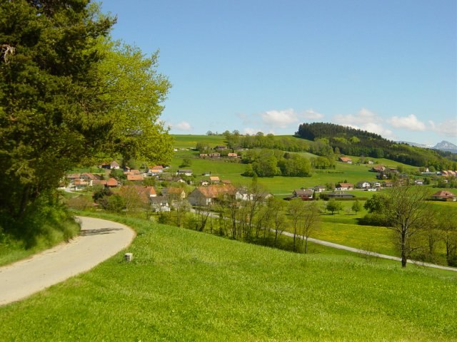
Photo: Meinmein, CC BY-SA 2.0 ca.
Vuarmarens is a former municipality in the district of Glâne in the canton of Fribourg in Switzerland. On January 1, 2006, Vuarmarens incorporated the formerly independent municipality of Esmonts.
Beauregard
- Type: House
- Categories: residential building and building
- Location: Chavannes-sur-Moudon, Broye-Vully District, Vaud, Western Switzerland, Switzerland, Central Europe, Europe
- View on OpenStreetMap
Latitude
46.64886° or 46° 38′ 56″ northLongitude
6.81573° or 6° 48′ 57″ eastElevation
692 metres (2,270 feet)Open location code
8FR8JRX8+G7GeoNames ID
11534406
This page is based on GeoNames, Wikidata, and Wikimedia Commons.
We’d love your help improving our open data sources. Thank you for contributing.
Satellite Map
Discover Beauregard from above in high-definition satellite imagery.
In Other Languages
“Beauregard” goes by many names.
- French: “Beauregard”
Places with the Same Name
Discover other places named “Beauregard”.
Localities in the Area
Explore places such as Chavannes-sur-Moudon and La Moille.
Nearby Places
Explore places such as Montet (Glâne), bif. and Montet (Glâne), village.
Vaud: Must-Visit Destinations
Delve into Lausanne, Montreux, Nyon, and Vevey.
Curious Places to Discover
Uncover intriguing places from every corner of the globe.
About Mapcarta. Text is available under the CC BY-SA 4.0 license, except for photos, directions, and the map. Photo: Annickjaquillard, CC BY-SA 4.0.