Les Combes
Les Combes is a dwelling in Le Noirmont, Franches-Montagnes District, Canton of Jura and has an elevation of 1,066 metres. Les Combes is situated nearby to the castle Sommêtres, as well as near Former Saint-Hubert church.| Tap on a place to explore it |
Places of Interest Nearby
Highlights include Sommêtres and Former Saint-Hubert church.
Sommêtres
Castle

Photo: Wikimedia, CC BY-SA 3.0.
The Sommêtres are a chain of rocks overlooking the Doubs, north of Le Noirmont in the canton of Canton of Jura. The Sommêtres are a popular climbing area. Sommêtres is situated 380 metres north of Les Combes.
Former Saint-Hubert church
Church

Photo: Roland Zumbuehl, CC BY-SA 3.0.
Former Saint-Hubert church is situated 760 metres southwest of Les Combes.
Le Noirmont railway station
Railway station

Photo: Wikimedia, CC BY-SA 4.0.
Le Noirmont railway station is a railway station in the municipality of Le Noirmont, in the Swiss canton of Jura. It is located at the junction of the 1,000 mm La Chaux-de-Fonds–Glovelier and Tavannes–Noirmont lines of the Chemins de fer du Jura. Le Noirmont railway station is situated 1¼ km southwest of Les Combes.
Places in the Area
Nearby places include Muriaux and Goumois.
Muriaux
Village

Photo: Yesuitus2001, CC BY-SA 2.5.
Muriaux is a municipality in the district of Franches-Montagnes in the canton of Jura in Switzerland. On 1 January 2009, the formerly independent municipality of Le Peuchapatte merged into the municipality of Muriaux.
Goumois
Village
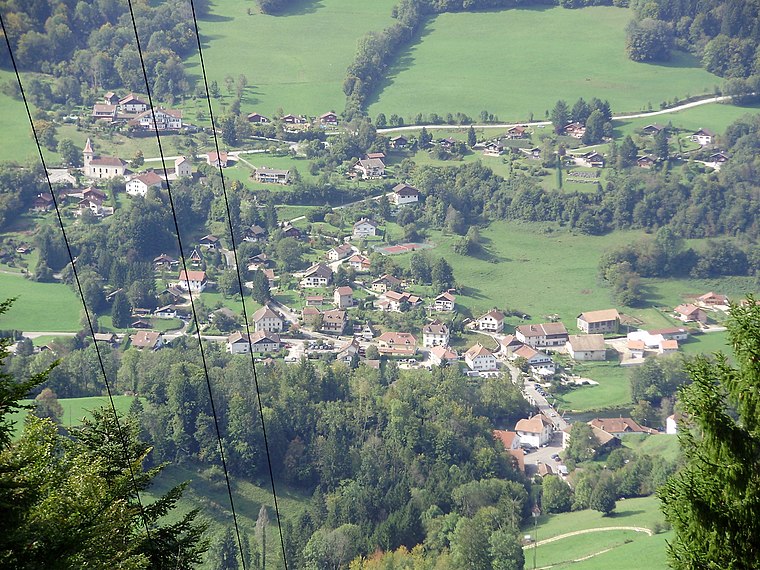
Photo: Wikimedia, CC BY-SA 3.0.
Goumois is a village, which is situated 3½ km north of Les Combes.
Saignelégier
Village

Photo: Roland Zumbuehl, CC BY-SA 3.0.
Saignelégier is a municipality in the canton of Jura in Switzerland. It is the seat of the district of Franches-Montagnes. On 1 January 2009, the formerly independent municipalities of Goumois and Les Pommerats merged into Saignelégier. Saignelégier is situated 3½ km northeast of Les Combes.
Les Combes
- Type: Dwelling
- Categories: locality, residential building, and building
- Location: Le Noirmont, Franches-Montagnes District, Canton of Jura, Switzerland, Central Europe, Europe
- View on OpenStreetMap
Latitude
47.23304° or 47° 13′ 59″ northLongitude
6.96556° or 6° 57′ 56″ eastElevation
1,066 metres (3,497 feet)Open location code
8FV86XM8+66OpenStreetMap ID
node 5318954921OpenStreetMap feature
place=isolated_dwellingGeoNames ID
11634326
This page is based on OpenStreetMap, GeoNames, Wikidata, and Wikimedia Commons.
We’d love your help improving our open data sources. Thank you for contributing.
Satellite Map
Discover Les Combes from above in high-definition satellite imagery.
In Other Languages
“Les Combes” goes by many names.
- French: “Les Combes”
Places with the Same Name
Discover other places named “Les Combes”.
Localities in the Area
Explore places such as Le Crauloup and La Pâture.
Nearby Places
Explore places such as 7. Stirnimann-Stojanovic and La ferme des Combes.
Switzerland: Must-Visit Destinations
Delve into Zurich, Berne, Geneva, and Basel.
Curious Houses to Discover
Uncover intriguing houses from every corner of the globe.
About Mapcarta. Data © OpenStreetMap contributors and available under the Open Database License". Text is available under the CC BY-SA 4.0 license, except for photos, directions, and the map. Photo: Simonizer, CC BY-SA 2.0 de.