Vallätscha
Vallätscha is a house in Landquart, Graubünden. Vallätscha is situated nearby to the village Mastrils, as well as near Landquart.| Tap on a place to explore it |
Places of Interest Nearby
Highlights include Landquart railway station and Landquart Ried railway station.
Landquart railway station
Railway station

Photo: Bobo11, CC BY-SA 3.0.
Landquart railway station is a major railway station in the municipality of Landquart, in the Swiss canton of Grisons. It is an intermediate stop on the Swiss Federal Railways Chur–Rorschach line and the junction of the Landquart–Davos Platz and Landquart–Thusis lines of the Rhaetian Railway. Landquart railway station is situated 1½ km northeast of Vallätscha.
Landquart Ried railway station
Railway stop
 Landquart Ried railway station is a railway station in the village of Igis, within the municipality of Landquart, in the Swiss canton of Grisons. It is an intermediate stop on the Rhaetian Railway 1,000 mm metre gauge Landquart–Thusis line. Landquart Ried railway station is situated 1½ km east of Vallätscha.
Rohanschanze
Archaeological site
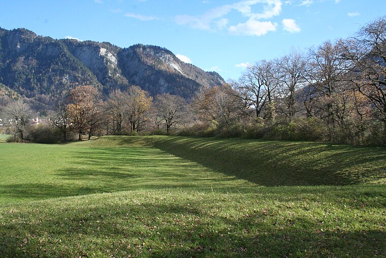
Photo: Parpan05, CC BY-SA 3.0.
Rohanschanze is an archaeological site, which is situated 2½ km northeast of Vallätscha.
Places in the Area
Nearby places include Mastrils and Landquart.
Mastrils
Village
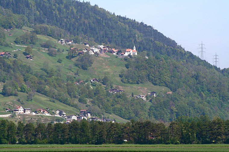
Photo: Parpan05, CC BY-SA 3.0.
Mastrils is a former municipality in the district of Landquart in the Swiss canton of Graubünden. The municipalities of Igis and Mastrils merged on 1 January 2012 into the new municipality of Landquart.
Landquart
Village

Photo: Parpan05, CC BY-SA 3.0.
Landquart is a municipality in the Landquart Region in the Swiss canton of the Grisons. It was formed when the municipalities of Igis and Mastrils merged on 1 January 2012 into the new municipality of Landquart.
Igis
Village

Photo: Parpan05, CC BY-SA 3.0.
Igis is a former municipality in the district of Landquart in the Swiss canton of Graubünden. Far better known than its proper name Igis is its hamlet Landquart, because of its Rail Station and motorway exit. Igis is situated 3 km southeast of Vallätscha.
Vallätscha
- Type: House
- Also known as: “Vallaetscha”
- Categories: residential building and building
- Location: Landquart, Region Landquart, Graubünden, Switzerland, Central Europe, Europe
- View on OpenStreetMap
Latitude
46.95779° or 46° 57′ 28″ northLongitude
9.54046° or 9° 32′ 26″ eastElevation
614 metres (2,014 feet)Open location code
8FRFXG5R+45GeoNames ID
11719109
This page is based on GeoNames, Wikidata, and Wikimedia Commons.
We’d love your help improving our open data sources. Thank you for contributing.
Satellite Map
Discover Vallätscha from above in high-definition satellite imagery.
In Other Languages
“Vallätscha” goes by many names.
- Romansh: “Vallätscha”
Places with the Same Name
Discover other places named “Vallätscha”.
Localities in the Area
Explore places such as Tarviersch and Tretsch.
Nearby Places
Explore places such as Hirschau and Gissübel.
Graubünden: Must-Visit Destinations
Delve into Davos, Chur, St. Moritz, and Arosa.
Curious Houses to Discover
Uncover intriguing houses from every corner of the globe.
About Mapcarta. Text is available under the CC BY-SA 4.0 license, except for photos, directions, and the map. Photo: Martingarten, CC BY-SA 3.0.