Rotenberg
Rotenberg is a hill in Bad Rodach, Landkreis Coburg, Bavaria and has an elevation of 312 metres. Rotenberg is situated nearby to the village Roßfeld, as well as near the locality Bad Rodach.| Tap on a place to explore it |
Places of Interest
Highlights include Bad Rodach (b Coburg) and Eichelberg und Bischofsau.
Bad Rodach (b Coburg)
Railway station

Photo: Störfix, CC BY-SA 3.0.
Bad Rodach (b Coburg) is a railway station.
Eichelberg und Bischofsau
Nature reserve
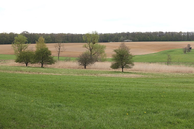
Photo: Wikimedia, CC BY-SA 3.0 de.
Eichelberg und Bischofsau is a nature reserve, which is situated 3 km northwest of Rotenberg.
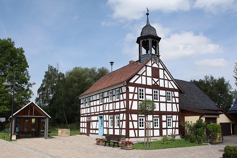
St. Marien
Church

Photo: Ermell, CC BY-SA 4.0.
St. Marien is a church, which is situated 2½ km north of Rotenberg.
Places in the Area
Nearby places include Roßfeld and Lempertshausen.


Rotenberg
- Type: Hill with an elevation of 312 metres
- Category: landform
- Location: Bad Rodach, Landkreis Coburg, Upper Franconia, Franconia, Bavaria, Germany, Central Europe, Europe
- View on OpenStreetMap
Latitude
50.34377° or 50° 20′ 38″ northLongitude
10.75915° or 10° 45′ 33″ eastElevation
312 metres (1,024 feet)Open location code
9F2G8QV5+GMGeoNames ID
11747254
This page is based on GeoNames, Wikidata, and Wikimedia Commons.
We’d love your help improving our open data sources. Thank you for contributing.
Satellite Map
Discover Rotenberg from above in high-definition satellite imagery.
Places with the Same Name
Discover other places named “Rotenberg”.
Localities in the Area
Explore places such as Bad Rodach and Adelhausen.
Notable Places Nearby
Highlights include Söhnleinsberg and Beerberg.
Upper Franconia: Must-Visit Destinations
Delve into Bamberg, Bayreuth, Coburg, and Hof.
Curious Places to Discover
Uncover intriguing places from every corner of the globe.
About Mapcarta. Text is available under the CC BY-SA 4.0 license, except for photos, directions, and the map. Photo: Flodur63, CC BY-SA 4.0.