Strandbad Klosters
Strandbad Klosters is a facility in Graubünden, Switzerland and has an elevation of 1,187 metres. Strandbad Klosters is situated nearby to Nutli Hüschi museum of local history (collection), as well as near Klosters Platz railway station.| Tap on a place to explore it |
Places of Interest Nearby
Highlights include Klosters Platz railway station and Nutli Hüschi museum of local history (collection).
Klosters Platz railway station
Railway station

Photo: Liberal Freemason, CC BY-SA 3.0.
Klosters Platz railway station is located in the municipality of Klosters-Serneus in the district of Prattigau/Davos in the Swiss canton of Graubünden. Klosters Platz railway station is situated 740 metres northwest of Strandbad Klosters.
Nutli Hüschi museum of local history (collection)
Museum

Photo: Parpan05, CC BY-SA 3.0.
Nutli Hüschi museum of local history (collection) is situated 590 metres northwest of Strandbad Klosters.
Reformierte Kirche Klosters
Church

Photo: Parpan05, CC BY-SA 3.0.
Reformierte Kirche Klosters is a church, which is situated 750 metres northwest of Strandbad Klosters.
Places in the Area
Nearby places include Klosters and Serneus.
Klosters

Photo: Patrick Nouhailler’s…, CC BY-SA 3.0.
Klosters is a Swiss village in the Prättigau, politically part of the municipality of Klosters-Serneus, which belongs to the political district Prättigau/Davos in the canton of Grisons.
Serneus
Village
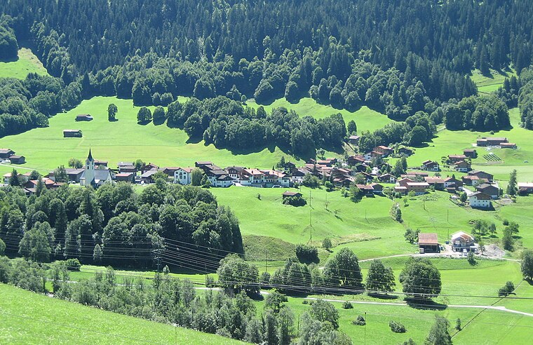
Photo: Parpan05, CC BY-SA 3.0.
Serneus is a village, which is situated 4½ km northwest of Strandbad Klosters.
Saas im Prättigau
Village
 Saas im Prättigau is a Swiss village in the Prättigau and a former municipality in the district of Prättigau/Davos in the canton of Graubünden. On 1 January 2016 the former municipality of Saas im Prättigau merged into the municipality of Klosters-Serneus. Saas im Prättigau is situated 8 km northwest of Strandbad Klosters.
Strandbad Klosters
- Type: Facility
- Location: Graubünden, Switzerland, Central Europe, Europe
- View on OpenStreetMap
Latitude
46.8649° or 46° 51′ 54″ northLongitude
9.88809° or 9° 53′ 17″ eastElevation
1,187 metres (3,894 feet)Open location code
8FRFVV7Q+X6GeoNames ID
12002899
This page is based on GeoNames, Wikidata, and Wikimedia Commons.
We’d love your help improving our open data sources. Thank you for contributing.
Satellite Map
Discover Strandbad Klosters from above in high-definition satellite imagery.
In Other Languages
“Strandbad Klosters” goes by many names.
- German: “Strandbad Klosters”
Localities in the Area
Explore places such as Selfranga and Klosters Platz railway station.
Nearby Places
Explore places such as Klosters, Sportzentrum and Klosters, Brachweg.
Graubünden: Must-Visit Destinations
Delve into Davos, Chur, St. Moritz, and Arosa.
Curious Facilities to Discover
Uncover intriguing facilities from every corner of the globe.
About Mapcarta. Text is available under the CC BY-SA 4.0 license, except for photos, directions, and the map. Photo: Martingarten, CC BY-SA 3.0.