Hackenberg
Hackenberg is a hill in Vellberg, Schwäbisch Hall, Baden-Württemberg and has an elevation of 512 metres. Hackenberg is situated nearby to the hamlet Steinehaig, as well as near Hilpert.| Tap on a place to explore it |
Places of Interest
Highlights include Unteres Schloss and Altes Amtshaus.
Altes Amtshaus
Public building
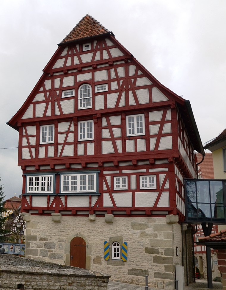
Photo: Tilman2007, CC BY-SA 3.0.
Altes Amtshaus is a public building, which is situated 3 km west of Hackenberg.
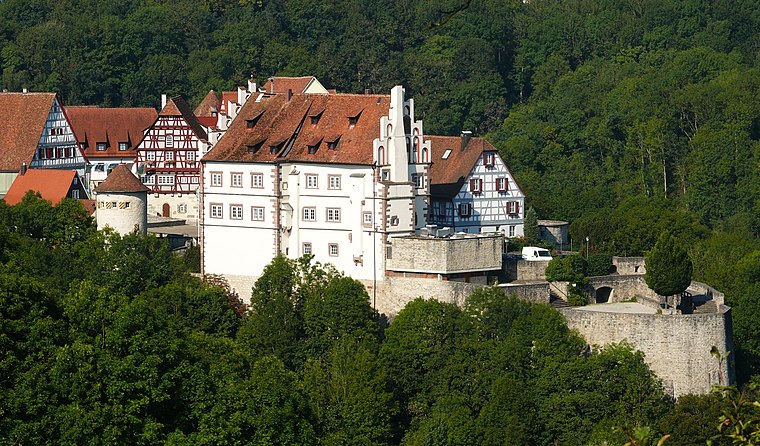
Oberes Schloss
Public building

Photo: Michael Barera, CC BY-SA 3.0.
Oberes Schloss is a public building, which is situated 3 km west of Hackenberg.
Places in the Area
Nearby places include Schneckenweiler and Merkelbach.


Hackenberg
- Type: Hill with an elevation of 512 metres
- Category: landform
- Location: Vellberg, Schwäbisch Hall, Stuttgart, Baden-Württemberg, Germany, Central Europe, Europe
- View on OpenStreetMap
Latitude
49.09526° or 49° 5′ 43″ northLongitude
9.92296° or 9° 55′ 23″ eastElevation
512 metres (1,680 feet)Open location code
8FXF3WWF+45GeoNames ID
12175958
This page is based on GeoNames, Wikidata, and Wikimedia Commons.
We’d love your help improving our open data sources. Thank you for contributing.
Satellite Map
Discover Hackenberg from above in high-definition satellite imagery.
Places with the Same Name
Discover other places named “Hackenberg”.
Localities in the Area
Explore places such as Steinehaig and Hilpert.
Notable Places Nearby
Highlights include Hahnenberg and Horn.
Baden-Württemberg: Must-Visit Destinations
Delve into Stuttgart, Heidelberg, Karlsruhe, and Mannheim.
Curious Hills to Discover
Uncover intriguing hills from every corner of the globe.
About Mapcarta. Text is available under the CC BY-SA 4.0 license, except for photos, directions, and the map. Photo: Traveler100, CC BY-SA 3.0.