Avenue de Nîmes
Avenue de Nîmes is a street in Montpellier, Hérault, Occitanie. Avenue de Nîmes is situated nearby to the arts center Corum, as well as near Saint Leon’s church.| Tap on a place to explore it |
Places of Interest Nearby
Highlights include Corum and Saint Leon’s church.
Corum
Arts center

Photo: Sebjarod, CC BY-SA 2.5.
Montpellier's Corum is a building that houses both a conference centre and an opera house, and is located in the centre of the city in southern France. Corum is situated 330 metres southwest of Avenue de Nîmes.
Saint Leon’s church
Church
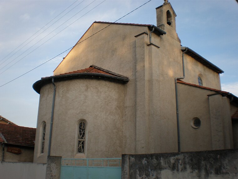
Photo: Vpe, Public domain.
Saint Leon’s church is situated 410 metres northwest of Avenue de Nîmes.
Notre-Dame des Tables de Montpellier
Church

Photo: Vpe, Public domain.
The original church of Notre Dame des Tables rested at the heart of the old village of Montpellier, in the current Occitanie région of France. It was consecrated by Bishop Ricuin circa 817. Notre-Dame des Tables de Montpellier is situated 560 metres southwest of Avenue de Nîmes.
Places in the Area
Nearby places include Antigone and Castelnau-le-Lez.
Antigone
Neighborhood
 Antigone is a neighbourhood of Montpellier, France, east of the city centre. It is best known for its architectural design by Ricardo Bofill Taller de Arquitectura.
Castelnau-le-Lez
Town

Photo: Vpe, Public domain.
Castelnau-le-Lez is a commune in the Hérault department in the Occitanie region of Southern France. Located on the outskirts of Montpellier, it is situated around 3 km north of the city centre. Castelnau-le-Lez is situated 3½ km northeast of Avenue de Nîmes.
Celleneuve
Neighborhood

Photo: Vpe, CC BY-SA 3.0.
Celleneuve is a part of Mosson neighbourhood, in the West of the city of Montpellier, Hérault, France. The place name can be translated as new cellar. It first appeared in Aniane's cartulary, written in 799, where it is mentioned that Benedict of Aniane created a priory, called Cella nova on the soil of Juvignac, even before the city of Montpellier was founded. Celleneuve is situated 5 km west of Avenue de Nîmes.
Avenue de Nîmes
- Type: Street
- Also known as: “Avenue de Nimes”
- Category: transportation
- Location: Montpellier, Arrondissement of Montpellier, Hérault, Occitanie, France, Europe
- View on OpenStreetMap
Latitude
43.61581° or 43° 36′ 57″ northLongitude
3.88417° or 3° 53′ 3″ eastElevation
20 metres (66 feet)Open location code
8FM5JV8M+8MGeoNames ID
12524657
This page is based on GeoNames, Wikidata, and Wikimedia Commons.
We’d love your help improving our open data sources. Thank you for contributing.
Satellite Map
Discover Avenue de Nîmes from above in high-definition satellite imagery.
Localities in the Area
Explore places such as La Pompignane and Faubourg Boutonnet.
Nearby Places
Explore places such as Maison pour tous Frédéric-Chopin and École élémentaire Jules-Verne.
Hérault: Must-Visit Destinations
Delve into Béziers, Sète, Bouzigues, and Pézenas.
Curious Streets to Discover
Uncover intriguing streets from every corner of the globe.
About Mapcarta. Text is available under the CC BY-SA 4.0 license, except for photos, directions, and the map. Photo: Wolfgang Staudt, CC BY 2.0.