Quebrada El Puesto
Quebrada El Puesto is an intermittent stream in Francisco Morazán Department, Honduras and has an elevation of 1,002 metres. Quebrada El Puesto is situated nearby to the neighborhood Colonia Los Robles, as well as near the locality Residencial Ciudad Nueva.| Tap on a place to explore it |
Places of Interest
Highlights include Toncontín International Airport and Tegucigalpa Honduras Temple.
Toncontín International Airport
Aerodrome

Photo: enrique galeano morales, CC BY 2.0.
Toncontín Airport formerly Toncontín International Airport, also known as Teniente Coronel Hernán Acosta Mejía Airport is a civil and military airport located 6 kilometres from the centre of Tegucigalpa, Honduras.
Tegucigalpa Honduras Temple
Church

Photo: Wikimedia, CC BY-SA 3.0.
The Tegucigalpa Honduras Temple is a temple of the Church of Jesus Christ of Latter-day Saints located in Tegucigalpa, the capital city of Honduras. It is the first temple constructed in the country and the sixth built in Central America.
Honduran Aviation Museum
Museum
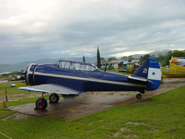
Photo: Chepo609, CC BY-SA 3.0.
The Honduran Aviation Museum, is a museum foundation in Honduras, opened in September 2002 for the purpose of storing, preserving, restoring and exhibiting items related to Honduran aviation.
Places in the Area
Nearby places include Comayagüela and Tegucigalpa.
Comayagüela
Town

Photo: Luis Alfredo Romero, CC BY-SA 4.0.
Comayagüela is a town, which is situated 5 km northeast of Quebrada El Puesto.
Tegucigalpa

Photo: Nan Palmero, CC BY 2.0.
Tegucigalpa is the capital of and largest city in Honduras. This 400-year-old mining center has a depth that is there for those with time and nerve to find it.
Quebrada El Puesto
- Type: Intermittent stream
- Category: body of water
- Location: Francisco Morazán Department, Honduras, Central America, North America
- View on OpenStreetMap
Latitude
14.06018° or 14° 3′ 37″ northLongitude
-87.23472° or 87° 14′ 5″ westElevation
1,002 metres (3,287 feet)Open location code
766J3Q68+34GeoNames ID
12536354
This page is based on GeoNames, Wikidata, and Wikimedia Commons.
We’d love your help improving our open data sources. Thank you for contributing.
Satellite Map
Discover Quebrada El Puesto from above in high-definition satellite imagery.
In Other Languages
“Quebrada El Puesto” goes by many names.
- Spanish: “Quebrada El Puesto”
Localities in the Area
Explore places such as Colonia Los Robles and Residencial Ciudad Nueva.
Notable Places Nearby
Highlights include Represa Los Laureles and Cerro Estiquirín.
Honduras: Must-Visit Destinations
Delve into Tegucigalpa, San Pedro Sula, Roatán, and La Ceiba.
Curious Intermittent Streams to Discover
Uncover intriguing intermittent streams from every corner of the globe.
About Mapcarta. Text is available under the CC BY-SA 4.0 license, except for photos, directions, and the map. Photo: Wikimedia, CC0.