Rautajoen Kaivanto
Rautajoen Kaivanto is a canal in Sastamala, Lounais-Pirkanmaa, Pirkanmaa. Rautajoen Kaivanto is situated nearby to the locality Pohjalanjärvi, as well as near the village Vihattula.| Tap on a place to explore it |
Places of Interest
Highlights include St. Olaf’s Church, Tyrvää and Vammala Railway Station.
St. Olaf’s Church, Tyrvää
Church

Photo: SpottingHistory, CC BY-SA 4.0.
St. Olaf's Church in Tyrvää is a late medieval fieldstone church in Tyrvää, Sastamala, Finland. It is located on the shore of lake Rautavesi. The church was built approximately in 1510–1516 and burnt down by a burglar on 21 September 1997.
Vammala Railway Station
Railway station

Photo: Hamartolos, CC BY-SA 3.0.
Vammala Railway Station is situated 4 km southwest of Rautajoen Kaivanto.
Sastamala Church
Church

Photo: Qraxo, Public domain.
Sastamala Church is situated 3½ km east of Rautajoen Kaivanto.
Places in the Area
Nearby places include Kalliala and Vammala.
Kalliala
Suburb
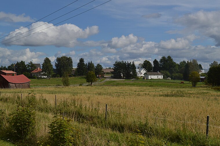
Photo: PtG, CC BY-SA 4.0.
Kalliala is a suburb, which is situated 2½ km south of Rautajoen Kaivanto.
Vammala
Town
Photo: Hamartolos, CC BY-SA 3.0.
Vammala is a former town and municipality of southwestern Finland, chartered in 1907. On 1 January 2009, Vammala was consolidated with the municipalities of Mouhijärvi and Äetsä, to form a new city named Sastamala. Vammala is situated 4 km southwest of Rautajoen Kaivanto.
Karkku
Town

Photo: Supikoira-1, CC BY-SA 4.0.
Karkku is a town, which is situated 10 km northeast of Rautajoen Kaivanto.
Rautajoen Kaivanto
- Type: Canal
- Category: body of water
- Location: Sastamala, Lounais-Pirkanmaa, Pirkanmaa, Finnish Lakeland, Finland, Nordic countries, Europe
- View on OpenStreetMap
Latitude
61.37508° or 61° 22′ 30″ northLongitude
22.94003° or 22° 56′ 24″ eastElevation
89 metres (292 feet)Open location code
9GH49WGR+22GeoNames ID
12817247
This page is based on GeoNames, Wikidata, and Wikimedia Commons.
We’d love your help improving our open data sources. Thank you for contributing.
Satellite Map
Discover Rautajoen Kaivanto from above in high-definition satellite imagery.
In Other Languages
“Rautajoen Kaivanto” goes by many names.
- Finnish: “Rautajoen Kaivanto”
Localities in the Area
Explore places such as Pohjalanjärvi and Vihattula.
Notable Places Nearby
Highlights include Kurujärvenmäki and Pussimäki.
Pirkanmaa: Must-Visit Destinations
Delve into Tampere, Nokia, Valkeakoski, and Akaa.
Curious Canals to Discover
Uncover intriguing canals from every corner of the globe.
About Mapcarta. Text is available under the CC BY-SA 4.0 license, except for photos, directions, and the map. Photo: MKFI, Public domain.