Fraccionamiento Sol de Oriente Etapa Dos
Fraccionamiento Sol de Oriente Etapa Dos is a locality in Torreón, Coahuila and has an elevation of 1,126 metres. Fraccionamiento Sol de Oriente Etapa Dos is situated nearby to the locality Sol de Oriente Etapa Tercer, as well as near Joyas del Oriente.| Tap on a place to explore it |
Places in the Area
Nearby places include Matamoros.
Matamoros
Town
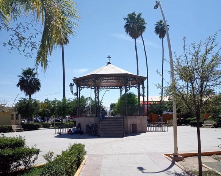 Matamoros is a city located in the southwestern part of the Mexican state of Coahuila; it serves as the seat of the surrounding municipality of the same name. Matamoros is situated 10 km east of Fraccionamiento Sol de Oriente Etapa Dos.
Fraccionamiento Sol de Oriente Etapa Dos
- Type: Locality
- Location: Torreón, Coahuila, Northern Mexico, Mexico, North America
- View on OpenStreetMap
Latitude
25.54096° or 25° 32′ 28″ northLongitude
-103.3286° or 103° 19′ 43″ westElevation
1,126 metres (3,694 feet)Open location code
75QRGMRC+9HGeoNames ID
13382226
This page is based on GeoNames, Wikidata, and Wikimedia Commons.
We’d love your help improving our open data sources. Thank you for contributing.
Satellite Map
Discover Fraccionamiento Sol de Oriente Etapa Dos from above in high-definition satellite imagery.
In Other Languages
“Fraccionamiento Sol de Oriente Etapa Dos” goes by many names.
- Spanish: “Colonia Fraccionamiento Sol de Oriente Etapa 2”
- Spanish: “Colonia Fraccionamiento Sol de Oriente Etapa Dos”
- Spanish: “Fraccionamiento Sol de Oriente Etapa 2”
- Spanish: “Fraccionamiento Sol de Oriente Etapa Dos”
Localities in the Area
Explore places such as Sol de Oriente Etapa Tercer and Joyas del Oriente.
Notable Places Nearby
Highlights include Cobian and Francisco Sarabia International Airport.
Coahuila: Must-Visit Destinations
Delve into Saltillo, Monclova, Piedras Negras, and Ciudad Acuña.
Curious Places to Discover
Uncover intriguing places from every corner of the globe.
About Mapcarta. Text is available under the CC BY-SA 4.0 license, except for photos, directions, and the map. Photo: Elias Garcia-Ortiz, CC BY-SA 2.0.