Pinnauer Wegegraben
Pinnauer Wegegraben is a ditch in Amt Neuhaus, Lüneburg, Lower Saxony. Pinnauer Wegegraben is situated nearby to the village Tripkau, as well as near the hamlet Brandstade.| Tap on a place to explore it |
Places of Interest
Highlights include Hitzacker Archaeological Centre and St.-Johannis-Kirche.
Hitzacker Archaeological Centre
Museum
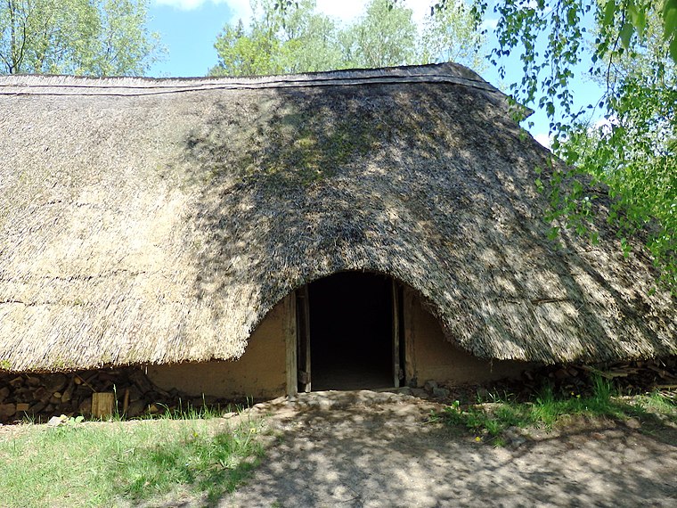
Photo: Wikimedia, CC BY-SA 3.0.
The Hitzacker Archaeological Centre is an archaeological open-air museum in Hitzacker in the German state of Lower Saxony. The core theme of the museum is the presentation of Bronze Age settlements. Hitzacker Archaeological Centre is situated 4 km southwest of Pinnauer Wegegraben.
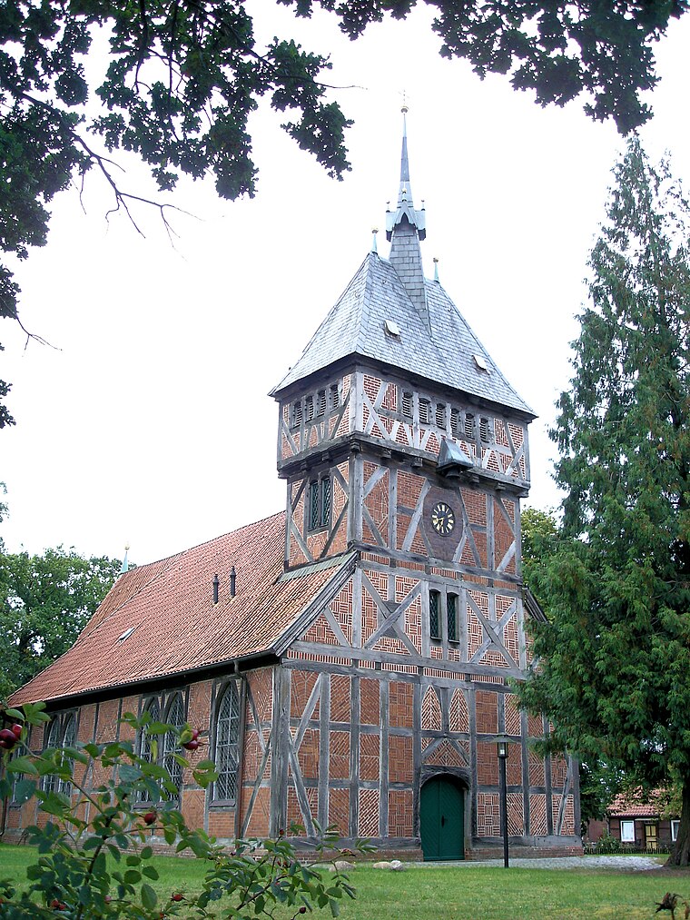
St.-Johannis-Kirche
Church

Photo: Fice, CC BY-SA 3.0.
St.-Johannis-Kirche is a church, which is situated 3½ km southwest of Pinnauer Wegegraben.
Places in the Area
Nearby places include Tripkau and Bohnenburg.

Jasebeck
Suburb
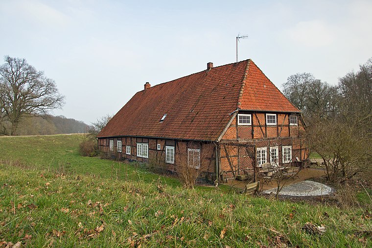
Photo: Fice, CC BY-SA 3.0.
Jasebeck is a suburb, which is situated 3½ km east of Pinnauer Wegegraben.
Pinnauer Wegegraben
- Type: Ditch
- Category: body of water
- Location: Amt Neuhaus, Lüneburg, Lower Saxony, Germany, Central Europe, Europe
- View on OpenStreetMap
Latitude
53.17136° or 53° 10′ 17″ northLongitude
11.0908° or 11° 5′ 27″ eastElevation
11 metres (36 feet)Open location code
9F5H53CR+G8GeoNames ID
13552241
This page is based on GeoNames, Wikidata, and Wikimedia Commons.
We’d love your help improving our open data sources. Thank you for contributing.
Satellite Map
Discover Pinnauer Wegegraben from above in high-definition satellite imagery.
In Other Languages
“Pinnauer Wegegraben” goes by many names.
- German: “Leitgraben”
- German: “Pinnauer Wegegraben”
Localities in the Area
Explore places such as Pinnau and Brandstade.
Notable Places Nearby
Highlights include Jeetzel and Alter Haken.
Lower Saxony: Must-Visit Destinations
Delve into Hanover, Göttingen, Brunswick, and Wolfsburg.
Curious Ditches to Discover
Uncover intriguing ditches from every corner of the globe.
About Mapcarta. Text is available under the CC BY-SA 4.0 license, except for photos, directions, and the map. Photo: Danapit, CC BY-SA 3.0.