Friedrichsruh
Friedrichsruh is a farm in Damnatz, Lüchow-Dannenberg, Lower Saxony. Friedrichsruh is situated nearby to the suburb Barnitz, as well as near the locality Damnatz.| Tap on a place to explore it |
Places of Interest
Highlights include Church Damnatz and Gümser See.

Gümser See
Lake

Photo: Fice, CC BY-SA 3.0.
Gümser See is a lake, which is situated 3 km southwest of Friedrichsruh.

Places in the Area
Nearby places include Rüterberg and Seedorf.
Rüterberg
Hamlet
 Rüterberg is a Stadtteil of Dömitz in the German state of Mecklenburg-Vorpommern. The community lies in the former East Germany on a portion of the Elbe River that formed part of the border with the former West Germany.
Seedorf
Hamlet

Photo: Fice, CC BY-SA 4.0.
Seedorf is a hamlet, which is situated 2½ km southwest of Friedrichsruh.
Jasebeck
Suburb
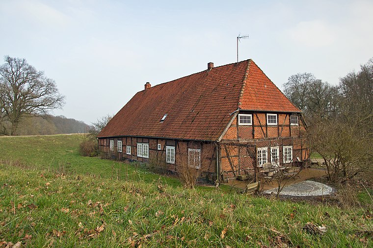
Photo: Fice, CC BY-SA 3.0.
Jasebeck is a suburb, which is situated 3 km northwest of Friedrichsruh.
Friedrichsruh
- Type: Farm
- Category: agriculture
- Location: Damnatz, Lüchow-Dannenberg, Lower Saxony, Germany, Central Europe, Europe
- View on OpenStreetMap
Latitude
53.14082° or 53° 8′ 27″ northLongitude
11.16667° or 11° 10′ eastElevation
13 metres (43 feet)Open location code
9F5H45R8+8MGeoNames ID
13552282
This page is based on GeoNames, Wikidata, and Wikimedia Commons.
We’d love your help improving our open data sources. Thank you for contributing.
Satellite Map
Discover Friedrichsruh from above in high-definition satellite imagery.
In Other Languages
“Friedrichsruh” goes by many names.
- German: “Friedrichsruh”
Places with the Same Name
Discover other places named “Friedrichsruh”.
Localities in the Area
Explore places such as Barnitz and Damnatz.
Notable Places Nearby
Highlights include Penkefitzer See and Naturschutzgebiet Rüterberg.
Lower Saxony: Must-Visit Destinations
Delve into Hanover, Göttingen, Brunswick, and Wolfsburg.
Curious Farms to Discover
Uncover intriguing farms from every corner of the globe.
About Mapcarta. Text is available under the CC BY-SA 4.0 license, except for photos, directions, and the map. Photo: Danapit, CC BY-SA 3.0.