Langwedel
Langwedel is a hamlet in Schneverdingen, Heidekreis, Lower Saxony. Langwedel is situated nearby to the hamlet Grasengrund, as well as near Hillern.| Tap on a place to explore it |
Places of Interest
Highlights include Böhmetal bei Huckenrieth and Flug der Dämonen.
Böhmetal bei Huckenrieth
Nature reserve

Photo: ChristianSW, CC0.
Böhmetal bei Huckenrieth is a nature reserve.
Flug der Dämonen
Roller coaster

Photo: Fritz Spitzkohl, CC BY-SA 3.0 de.
Flug der Dämonen is a Bolliger & Mabillard Wing Coaster at the Heide Park Resort amusement park located in Soltau, Lower Saxony, Germany. The attraction officially opened to the public on March 29, 2014. Flug der Dämonen is situated 4 km south of Langwedel.
Schweizer Bobbahn

Photo: Coaster J, CC BY-SA 3.0.
Bobbahn is a steel bobsled roller coaster at Heide Park that opened in 1993. The 826 m long journey begins with a lift hill that transports passengers to a height of 27 m. Schweizer Bobbahn is situated 4 km south of Langwedel.
Places in the Area
Nearby places include Wolterdingen and Langeloh.
Wolterdingen
Village

Photo: Losch, CC BY-SA 3.0.
Wolterdingen is a village, which is situated 4½ km southwest of Langwedel.
Langeloh
Village
Langeloh is a village within the town of Schneverdingen in the district of Soltau-Fallingbostel in the North German state of Lower Saxony. The village lies about 5 kilometres south of the town and is linked to it by the district roads K26 and K33. Langeloh is situated 5 km west of Langwedel.
Dittmern
Village
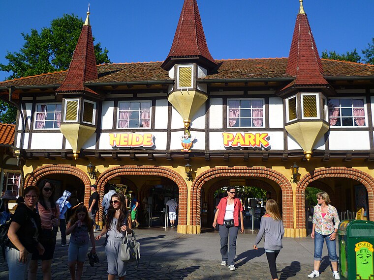
Photo: YanCoasterman, CC BY-SA 3.0.
Dittmern is a village in the borough of Soltau in the Heidekreis district in the German state of Lower Saxony. The village has 783 inhabitants. The hamlets of Friedrichseck, Hambostel, Grüne Aue, Heidenhof and Höpenhof belong to the parish of Dittmern. Dittmern is situated 6 km south of Langwedel.
Langwedel
- Type: Hamlet
- Category: locality
- Location: Schneverdingen, Heidekreis, Lüneburg Heath, Lower Saxony, Germany, Central Europe, Europe
- View on OpenStreetMap
Latitude
53.06082° or 53° 3′ 39″ northLongitude
9.87947° or 9° 52′ 46″ eastElevation
87 metres (285 feet)Open location code
9F5F3V6H+8QOpenStreetMap ID
node 1028115038OpenStreetMap feature
place=hamletGeoNames ID
13553437
This page is based on OpenStreetMap, GeoNames, Wikidata, and Wikimedia Commons.
We’d love your help improving our open data sources. Thank you for contributing.
Satellite Map
Discover Langwedel from above in high-definition satellite imagery.
In Other Languages
“Langwedel” goes by many names.
- German: “Langwedel”
Places with the Same Name
Discover other places named “Langwedel”.
Localities in the Area
Explore places such as Grasengrund and Hillern.
Notable Places Nearby
Highlights include Reitschule and Großes Moor.
Lüneburg Heath: Must-Visit Destinations
Delve into Lüneburg, Celle, Gifhorn, and Soltau.
Curious Places to Discover
Uncover intriguing places from every corner of the globe.
About Mapcarta. Data © OpenStreetMap contributors and available under the Open Database License". Text is available under the CC BY-SA 4.0 license, except for photos, directions, and the map. Photo: ArishG, CC BY-SA 4.0.