Barneführerholz
Barneführerholz is a forest station in Hatten, Oldenburg, Lower Saxony. Barneführerholz is situated nearby to the locality Osenberge, as well as near the nature reserve Tannersand und Gierenberg.| Tap on a place to explore it |
Places of Interest Nearby
Highlights include Barneführer Holz und Schreensmoor and Tannersand und Gierenberg.
Barneführer Holz und Schreensmoor
Nature reserve

Photo: Muschelschubser, CC BY-SA 3.0.
Barneführer Holz und Schreensmoor is a nature reserve.
Tannersand und Gierenberg
Nature reserve

Photo: Jacek79, CC BY-SA 4.0.
Tannersand und Gierenberg is a nature reserve.
Sandkrug station
Railway station
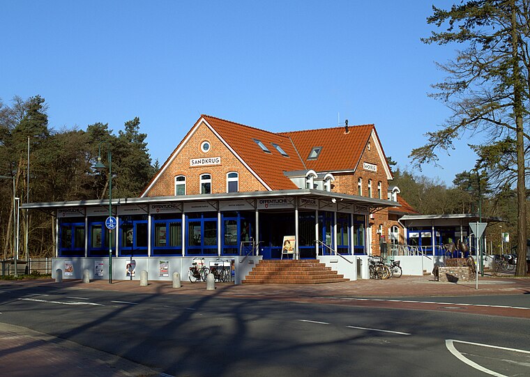
Photo: Jacek79, CC BY-SA 4.0.
Sandkrug station is a railway station in the municipality of Sandkrug, located in the Oldenburg district in Lower Saxony, Germany. Sandkrug station is situated 3 km north of Barneführerholz.
Places in the Area
Nearby places include Osenberge and Sandkrug.
Osenberge
Locality
The Osenberge is a dune region up to 23 m above sea level high in the district of Oldenburg, Lower Saxony.
Sandkrug
Town
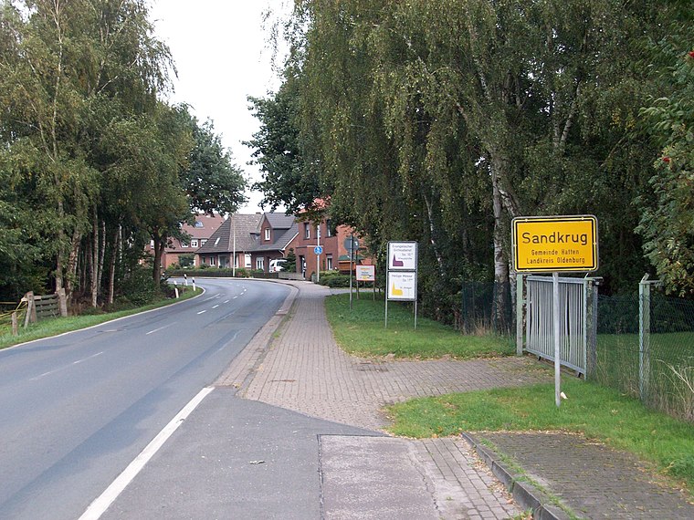
Photo: jul8234, CC BY-SA 3.0.
Sandkrug is a town, which is situated 3 km north of Barneführerholz.

Barneführerholz
- Type: Forest station
- Also known as: “Barnefuhrerholz”
- Location: Hatten, Oldenburg, Lower Saxony, Germany, Central Europe, Europe
- View on OpenStreetMap
Latitude
53.02914° or 53° 1′ 45″ northLongitude
8.26391° or 8° 15′ 50″ eastElevation
15 metres (49 feet)Open location code
9F5C27H7+MHGeoNames ID
13553547
This page is based on GeoNames, Wikidata, and Wikimedia Commons.
We’d love your help improving our open data sources. Thank you for contributing.
Satellite Map
Discover Barneführerholz from above in high-definition satellite imagery.
In Other Languages
“Barneführerholz” goes by many names.
- German: “Barneführerholz”
Places with the Same Name
Discover other places named “Barneführerholz”.
Localities in the Area
Explore places such as Im Halm and Siedlungen Hatterwüsting.
Nearby Places
Explore places such as Landwehrgraben and Zum Specken.
Lower Saxony: Must-Visit Destinations
Delve into Hanover, Göttingen, Brunswick, and Wolfsburg.
Curious Forest Stations to Discover
Uncover intriguing forest stations from every corner of the globe.
About Mapcarta. Text is available under the CC BY-SA 4.0 license, except for photos, directions, and the map. Photo: Danapit, CC BY-SA 3.0.