Estr Real (Colegio Penas)
Estr Real (Colegio Penas) is a bus stop in São Francisco, Alcochete, Setúbal District. Estr Real (Colegio Penas) is situated nearby to the town Samouco, as well as near the village Sarilhos Grandes.| Tap on a place to explore it |
Places of Interest Nearby
Highlights include Moinho do Esteval and Campo Municipal da Liberdade.
Moinho do Esteval
Museum

Photo: Pedro S Bello, CC BY-SA 4.0.
Moinho do Esteval is a museum, which is situated 2 km southwest of Estr Real (Colegio Penas).
Campo Municipal da Liberdade
Pitch

Photo: Desportugal, CC BY-SA 4.0.
Campo Municipal da Liberdade is a pitch, which is situated 2½ km southwest of Estr Real (Colegio Penas).
Igreja de São João Baptista
Church

Photo: Alvesgaspar, CC BY-SA 3.0.
Igreja de São João Baptista is a church in Portugal. It is classified as a National Monument. Igreja de São João Baptista is situated 3 km north of Estr Real (Colegio Penas).
Places in the Area
Nearby places include Montijo and Samouco.
Montijo

Photo: Vitor Oliveira, CC BY-SA 2.0.
Montijo is a city and municipality in Setúbal District in Portugal. Its name was Aldeia Galega do Ribatejo or simply Aldeia Galega until 1930. The population in 2021 was 55,732, in an area of 348.62 km2.
Samouco
Town
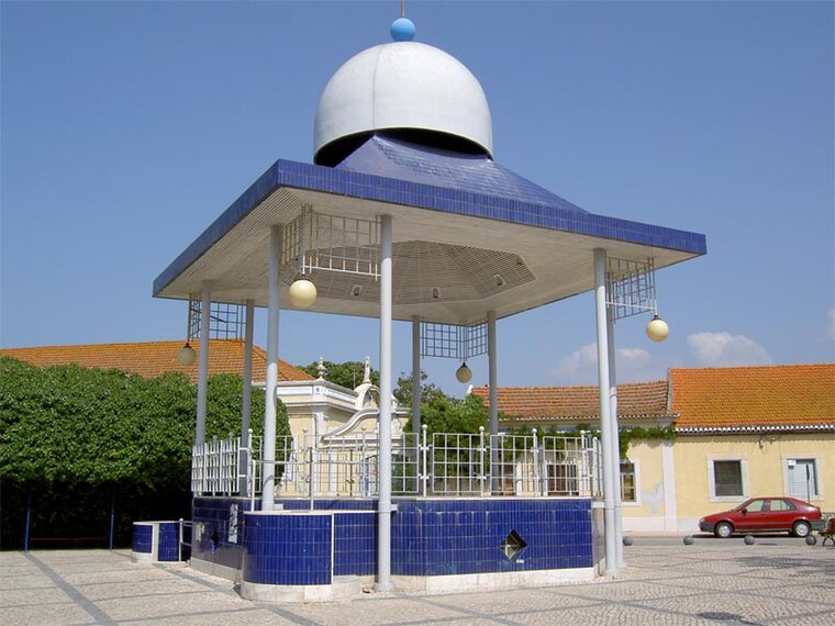
Photo: Dougal2010, CC BY-SA 3.0.
Samouco is a town, which is situated 5 km west of Estr Real (Colegio Penas).
Sarilhos Grandes
Village

Photo: Vitor Oliveira, CC BY-SA 2.0.
Sarilhos Grandes is a village, which is situated 6 km south of Estr Real (Colegio Penas).
Estr Real (Colegio Penas)
- Type: Bus stop
- Category: transportation
- Location: São Francisco, Alcochete, Setúbal District, Portugal, Iberia, Europe
- View on OpenStreetMap
Latitude
38.72906° or 38° 43′ 45″ northLongitude
-8.94877° or 8° 56′ 56″ westNetwork
Carris MetropolitanaOpen location code
8CCHP3H2+JFOpenStreetMap ID
node 10005949923OpenStreetMap feature
highway=bus_stopOpenStreetMap feature
public_transport=platform
This page is based on OpenStreetMap, Wikidata, and Wikimedia Commons.
We’d love your help improving our open data sources. Thank you for contributing.
Satellite Map
Discover Estr Real (Colegio Penas) from above in high-definition satellite imagery.
Notable Places Nearby
Highlights include Cereja Aventura and Rotunda Dom Sebastião.
Nearby Places
Explore places such as Estr Real (Colegio Penas) and Colégio Penas Real.
Portugal: Must-Visit Destinations
Delve into Lisbon, Caldas da Rainha, Porto, and Coimbra.
Curious Bus Stops to Discover
Uncover intriguing bus stops from every corner of the globe.
About Mapcarta. Data © OpenStreetMap contributors and available under the Open Database License". Text is available under the CC BY-SA 4.0 license, except for photos, directions, and the map. Photo: Vitor Oliveira, CC BY-SA 2.0.