Auf dem Rodheimer Wald
Auf dem Rodheimer Wald is a locality in Karben, Wetteraukreis, Hesse. Auf dem Rodheimer Wald is situated nearby to the locality Auf dem Platz, as well as near An der Rodheimer Straße links.| Tap on a place to explore it |
Places of Interest
Highlights include Evangelische Kirche and Naturschutzgebiet Ludwigsquelle.

Naturschutzgebiet Ludwigsquelle
Nature reserve

Photo: Prolingheuer, CC BY-SA 4.0.
Naturschutzgebiet Ludwigsquelle is a nature reserve, which is situated 2½ km southeast of Auf dem Rodheimer Wald.
Degenfeldsches Schloss
Castle
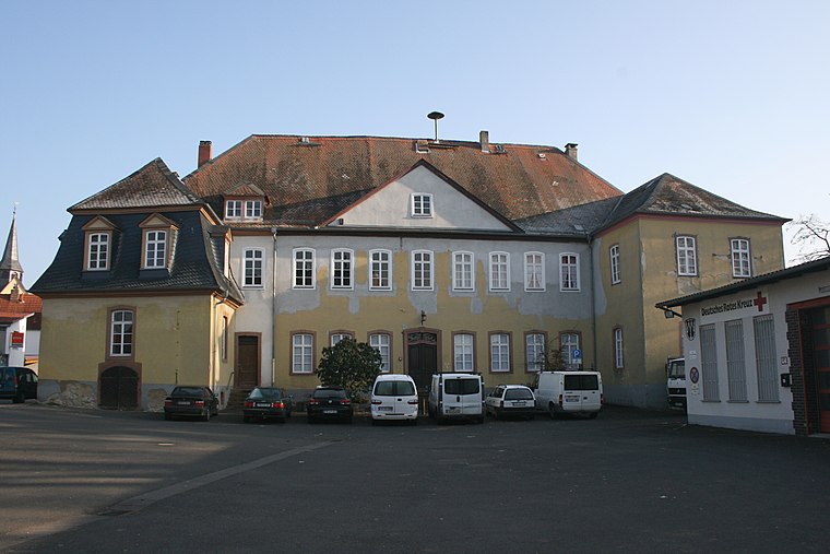
Photo: Haselburg-müller, CC BY-SA 3.0.
Degenfeldsches Schloss is a castle, which is situated 3½ km southeast of Auf dem Rodheimer Wald.
Places in the Area
Nearby places include Petterweil and Assenheim.
Petterweil
Village

Photo: MdE, CC BY-SA 3.0.
Petterweil is a village, which is situated 3 km southwest of Auf dem Rodheimer Wald.
Assenheim
Village

Photo: Wikimedia, Public domain.
Assenheim is a village, which is situated 6 km northeast of Auf dem Rodheimer Wald.
Nieder-Erlenbach
Village

Photo: E-W, CC BY-SA 3.0.
Nieder-Erlenbach is since 1 August 1972 the northernmost borough of Frankfurt am Main, Germany. The Anna-Schmidt-Schule, a private school, is located in Nieder-Erlenbach. Nieder-Erlenbach is situated 7 km south of Auf dem Rodheimer Wald.
Auf dem Rodheimer Wald
- Type: Locality
- Location: Karben, Wetteraukreis, South Hesse, Hesse, Germany, Central Europe, Europe
- View on OpenStreetMap
Latitude
50.26475° or 50° 15′ 53″ northLongitude
8.74455° or 8° 44′ 40″ eastOpen location code
9F2C7P7V+WROpenStreetMap ID
node 10057201729OpenStreetMap feature
place=locality
This page is based on OpenStreetMap, Wikidata, and Wikimedia Commons.
We’d love your help improving our open data sources. Thank you for contributing.
Satellite Map
Discover Auf dem Rodheimer Wald from above in high-definition satellite imagery.
Localities in the Area
Explore places such as Auf dem Platz and An der Rodheimer Straße links.
Notable Places Nearby
Highlights include Neuer Friedhof and Evangelisches Gemeindezentrum.
South Hesse: Must-Visit Destinations
Delve into Darmstadt, Bensheim, Lorsch, and Heppenheim.
Curious Localities to Discover
Uncover intriguing localities from every corner of the globe.
About Mapcarta. Data © OpenStreetMap contributors and available under the Open Database License". Text is available under the CC BY-SA 4.0 license, except for photos, directions, and the map. Photo: Mylius, GFDL.