Jeanette Heights
Jeanette Heights is a neighborhood in Town of Danbury, Western Connecticut Planning Region, Connecticut. Jeanette Heights is situated nearby to the hamlet Wildmans Landing, as well as near Hayestown.| Tap on a place to explore it |
Places of Interest
Highlights include Danbury High School and Henry Abbott Technical High School.
Danbury High School
School
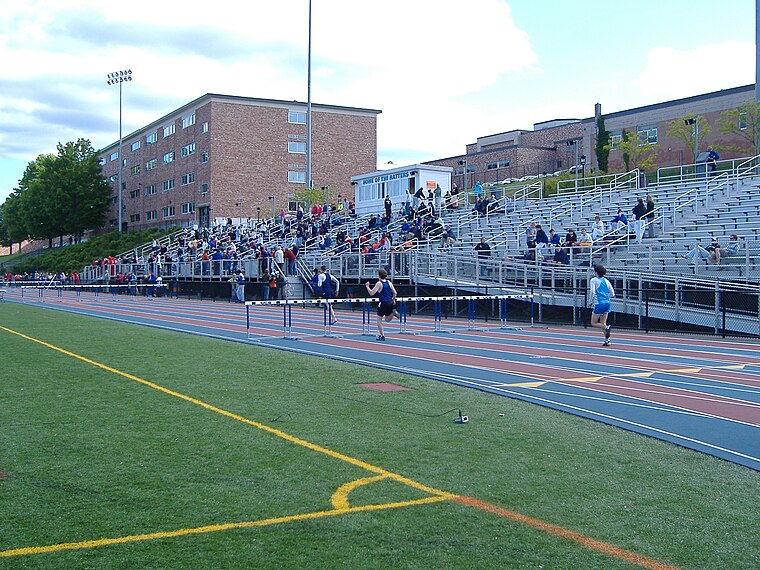
Photo: Mdaly625, CC BY-SA 3.0.
Danbury High School is a public high school in Danbury, Connecticut, with almost 4000 students. It is part of the Danbury Public Schools district. Despite Danbury's population of 86,518, there is only one public high school, along with several small private schools, and one vocational high school in the city.
Henry Abbott Technical High School
School
Henry Abbott Technical High School, or Abbott Tech, is a technical high school in Danbury, in Connecticut. It is among four high schools within Danbury, which include Danbury High School, Alternative Center for Excellence, and Immaculate High School.
Danbury Hospital
Hospital
Danbury Hospital is a 456-bed hospital in Danbury, Connecticut serving patients in Fairfield County, Connecticut, Litchfield County, Connecticut, and New Haven County, Connecticut as well as Westchester County, New York, Putnam County, New York, and Dutchess County, New York. Danbury Hospital is situated 1½ miles southeast of Jeanette Heights.
Places in the Area
Nearby places include Pembroke and Great Plain.
Pembroke
Hamlet
Pembroke is an unincorporated area in Danbury, Connecticut. It is situated in the north-central section of the city, south of the New Fairfield border, east of King Street, west of the Great Plain neighborhood, and north of the Hayestown neighborhood.
Great Plain
Hamlet

Photo: CityLimitsJunction, CC BY-SA 4.0.
Great Plain is an unincorporated area in the City of Danbury, Fairfield County, Connecticut. A former farming community, only remnants exist of this once thriving agricultural hub.
Danbury

Photo: Daniel Case, CC BY-SA 3.0.
Danbury - nicknamed Hat City - is a city in the interior of Fairfield County, Connecticut, making it part of the Litchfield Hills region.
Jeanette Heights
- Type: Neighborhood
- Category: locality
- Location: Town of Danbury, Western Connecticut Planning Region, Connecticut, New England, United States, North America
- View on OpenStreetMap
Latitude
41.42222° or 41° 25′ 20″ northLongitude
-73.46377° or 73° 27′ 50″ westOpen location code
87H8CGCP+VFOpenStreetMap ID
node 10080861833OpenStreetMap feature
place=neighbourhood
This page is based on OpenStreetMap, Wikidata, and Wikimedia Commons.
We’d love your help improving our open data sources. Thank you for contributing.
Satellite Map
Discover Jeanette Heights from above in high-definition satellite imagery.
Places with the Same Name
Discover other places named “Jeanette Heights”.
Localities in the Area
Explore places such as Wildmans Landing and Hayestown.
Notable Places Nearby
Highlights include Saint Nicholas Catholic Church and Danbury Yacht Club.
Connecticut: Must-Visit Destinations
Delve into Hartford, New Haven, Bridgeport, and Stamford.
Curious Neighborhoods to Discover
Uncover intriguing neighborhoods from every corner of the globe.
About Mapcarta. Data © OpenStreetMap contributors and available under the Open Database License". Text is available under the CC BY-SA 4.0 license, except for photos, directions, and the map. Photo: Wikimedia, CC0.