Soum de la Courbe
Soum de la Courbe is a peak in Viella, Arrondissement of Argelès-Gazost, Occitanie and has an elevation of 1,989 metres. Soum de la Courbe is situated nearby to the locality Buderaous, as well as near L’Estibe.| Tap on a place to explore it |
Places of Interest
Highlights include Château de Sainte-Marie and Église Saint-Michel de Viella.
Château de Sainte-Marie

Photo: Thierry de Villepin, CC BY-SA 3.0.
The Château de Sainte-Marie is a ruined castle in the commune of Esterre in the Hautes-Pyrénées département of France.
Église Saint-Michel de Viella
Church

Photo: Ottaviani, CC BY-SA 3.0.
Église Saint-Michel de Viella is a church.

Places in the Area
Nearby places include Luz-Saint-Sauveur and Esquièze-Sère.
Luz-Saint-Sauveur
Village
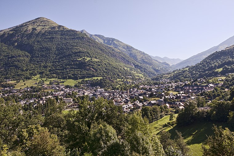
Photo: Jean-Christophe BENOIST, CC BY 3.0.
Luz-Saint-Sauveur is a commune in the Hautes-Pyrénées department in the Occitania region of south-western France. It lies on the river Bastan, a tributary of the Gave de Pau.
Esquièze-Sère
Village

Photo: Sotos, CC BY-SA 3.0.
Esquièze-Sère is a commune in the Hautes-Pyrénées department in south-western France.
Betpouey
Village

Photo: Ottaviani, CC BY-SA 3.0.
Betpouey is a commune in the Hautes-Pyrénées department in southwestern France.
Soum de la Courbe
- Type: Peak with an elevation of 1,989 metres
- Category: landform
- Location: Viella, Arrondissement of Argelès-Gazost, Hautes-Pyrénées, Occitanie, France, Europe
- View on OpenStreetMap
Latitude
42.8605° or 42° 51′ 38″ northLongitude
0.0304° or 0° 1′ 50″ eastElevation
1,989 metres (6,526 feet)Open location code
8FJ2V26J+65OpenStreetMap ID
node 10081931230OpenStreetMap feature
natural=peak
This page is based on OpenStreetMap, Wikidata, and Wikimedia Commons.
We’d love your help improving our open data sources. Thank you for contributing.
Satellite Map
Discover Soum de la Courbe from above in high-definition satellite imagery.
Localities in the Area
Explore places such as Buderaous and L’Estibe.
Notable Places Nearby
Highlights include Tucot de la Courbe and Hourquette du Mont Agut.
Hautes-Pyrénées: Must-Visit Destinations
Delve into Lourdes, Tarbes, Bagnères-de-Bigorre, and Pyrénées National Park.
Curious Peaks to Discover
Uncover intriguing peaks from every corner of the globe.
About Mapcarta. Data © OpenStreetMap contributors and available under the Open Database License". Text is available under the CC BY-SA 4.0 license, except for photos, directions, and the map. Photo: JLPC, CC BY-SA 3.0.